| map file | kpbc02010_vorgeschichtliche_ubersichtskarte_Ostpreussen_300K_Emil_Hollack-RES150.jpg |
|---|
| file size | 29354536 (28.0 MB) |
|---|
| sheet number | PRUSYWSCH |
|---|
| map sheet scale | 1:300,000 |
|---|
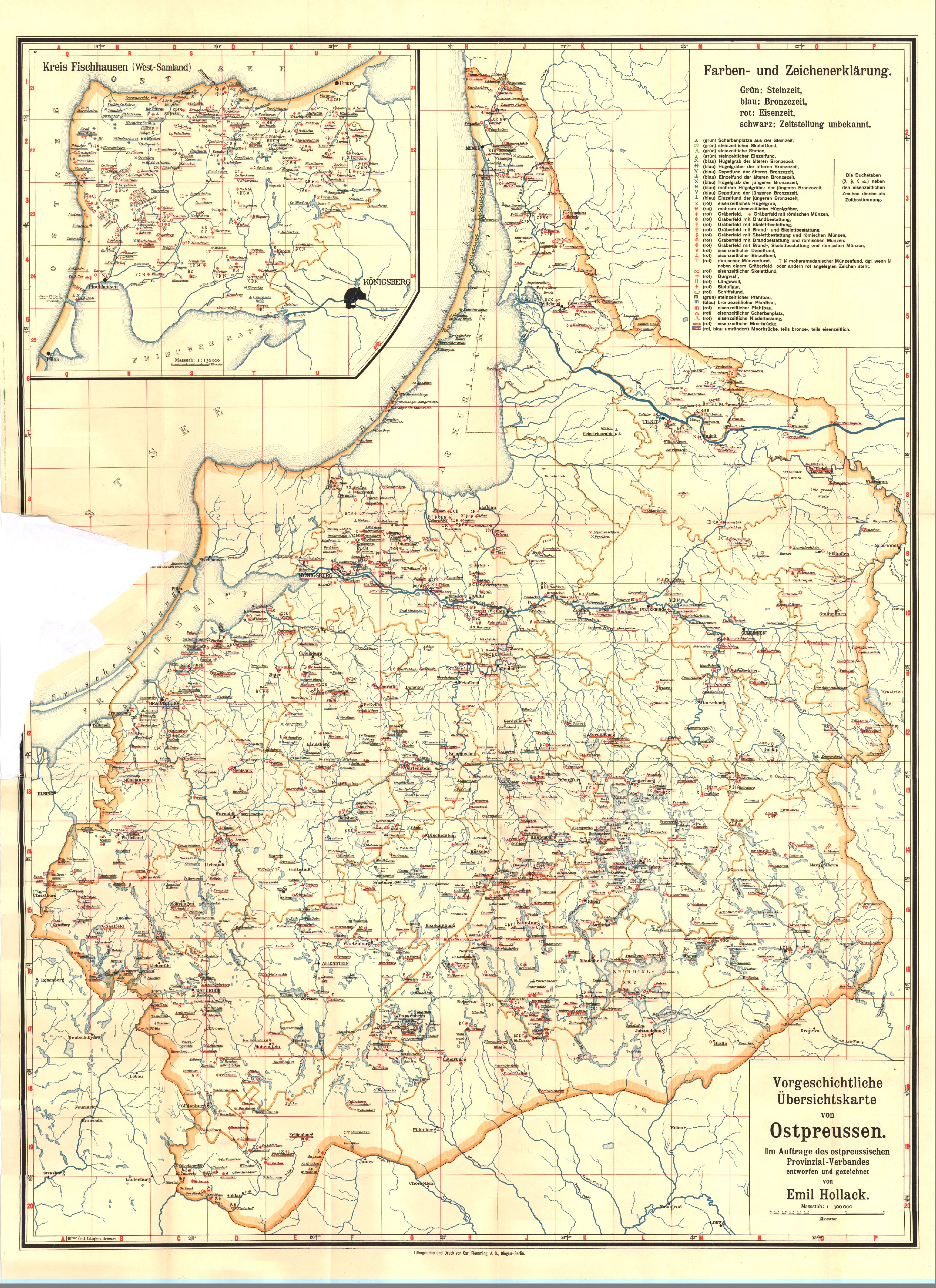
| sheet title | Vorgeschichtliche Übersichtskarte von Ostpreussen; Emil Hollack |
|---|
| modern name | Mapa przeglądowa prehistorii Prus Wschodnich - Emil Hollack |
|---|
| alternative name | A general map of the pre-history of East Prussia - Emil Hollack |
|---|
| annotation | obraz przetworzony / processed image |
|---|
| publication year | ±1930 |
|---|
| map/scan condition | bad |
|---|
| scan resolution | 200 dpi |
|---|
| scan colors | rgb |
|---|
| file added | 2014-04-07 |
|---|
| entry edited | 2014-04-07 20:54:40 |
|---|
| from the collection of | Kujawsko-Pomorska Biblioteka Cyfrowa |
|---|
| source reference | bc id: 2010 |
|---|


