


| map file | ssees0001-Moll_A_new_map_of_Germany,_Hungary,_Transilvania_and_the_Suisse_cantons-1712.jpg |
|---|---|
| file size | 8785673 (8.4 MB) |
| sheet number | GERMANY |
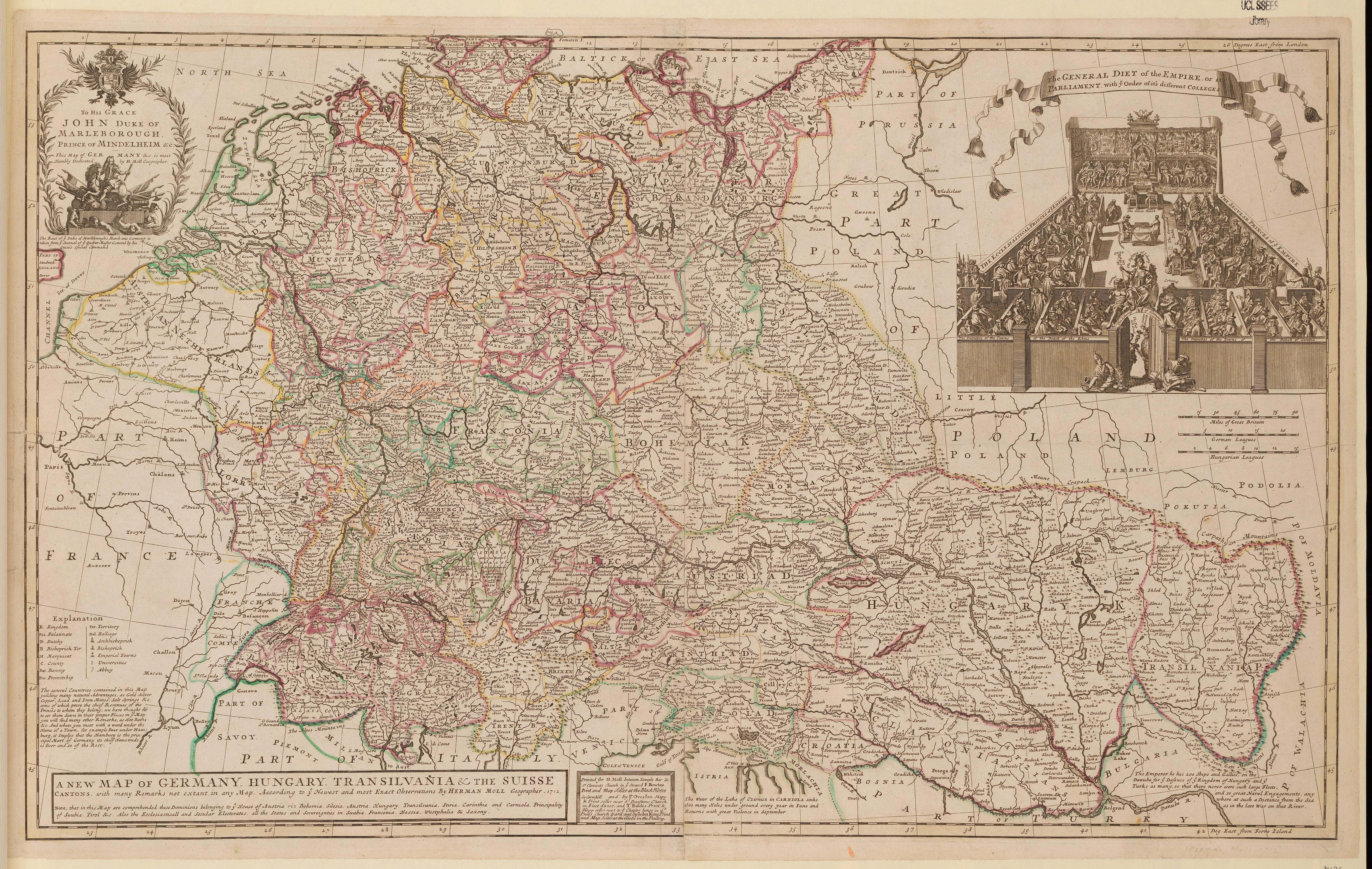
| sheet title | Moll A new map of Germany, Hungary, Transilvania and the Suisse cantons |
| publication year | 1712 |
| map/scan condition | good |
| scan resolution | 300 dpi |
| scan colors | rgb |
| remarks | A new map of Germany, Hungary, Transilvania and the Suisse cantons :with many remarks not extant in any map, according to the newest and most exact observations /by Herman Moll, geographer. Moll, Herman, d. 1732. Bowles, F., print and map seller, fl. 1712.; Overton, Philip.; Boules, T.; King, John, print and map seller, fl. 1712 |
| file added | 2014-04-10 |
| entry edited | 2014-04-11 22:14:32 |
| from the collection of | University College of London, School of Slavonic and East European Studies |
| supplier's licence | Copyright UCL Library Services, 2010, licensed under Creative Commons Attribution-NonCommercial-ShareAlike 2.0 UK: England and Wales Licence. For further information on this Licence please refer to: http://creativecommons.org/licenses/by-nc-sa/2.0/uk/ |
