


| Kartedatei | ssees0003_BAYLEY_A_new_map_of_Poland-ca1772.jpg |
|---|---|
| Dateigröße | 5057191 (4.8 MB) |
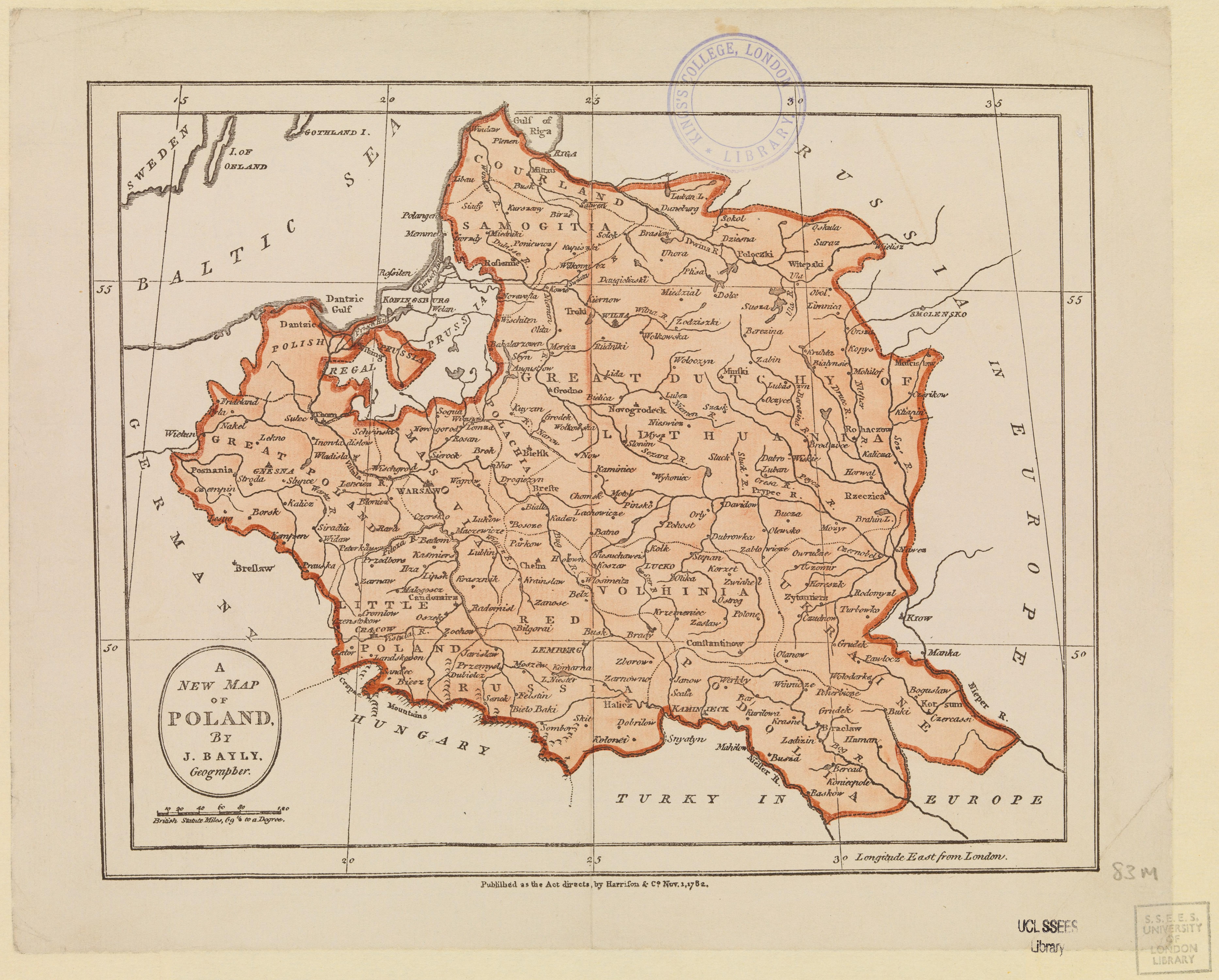
| Blattnummer | POLAND |
| Blatttitel | BAYLEY A new map of Poland |
| Veröffentlichungsjahr | ±1772 |
| Karte/Scanzustand | gut |
| Scanauflösung | 300 dpi |
| Scanfarben | rgb |
| Hinweise | A new map of Poland /by J. Bayley, Geographer. Bayley, John, 1763-1841. |
| Datei hinzugefügt | 2014-04-10 |
| Eintrag editiert | 2014-04-11 22:14:32 |
| aus der Sammlung von | University College of London, School of Slavonic and East European Studies |
| Lieferers Lizenz | Copyright UCL Library Services, 2010, licensed under Creative Commons Attribution-NonCommercial-ShareAlike 2.0 UK: England and Wales Licence. For further information on this Licence please refer to: http://creativecommons.org/licenses/by-nc-sa/2.0/uk/ |
