


| Kartedatei | ssees0087_Asia_according_to_the_Sieur_d'Anville-1772.jpg |
|---|---|
| Dateigröße | 68885 (0.1 MB) |
| Blattnummer | ASIA |
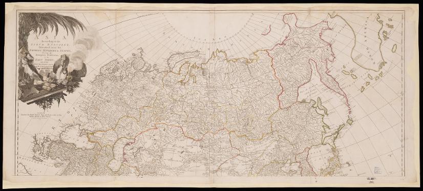
| Blatttitel | Asia according to the Sieur d'Anville |
| Veröffentlichungsjahr | 1772 |
| Karte/Scanzustand | gut |
| Scanauflösung | 300 dpi |
| Scanfarben | rgb |
| Hinweise | Asia according to the Sieur d'Anville, divided into its empires, kingdoms and states, shewing the European settlements in the East Indies and all the new discoveries made by the Russians, the Dutch and the English. Anville, Jean Baptiste Bourguignon d’, 1697-1782. From the collections of UCL SSEES Library London : printed for Robt. Sayer, map and print-seller at the Golden Buck in Fleet Street, as the Act directs, 1st of January , 1772 |
| Datei hinzugefügt | 2014-04-10 |
| Eintrag editiert | 2014-04-11 22:14:36 |
| aus der Sammlung von | University College of London, School of Slavonic and East European Studies |
| Lieferers Lizenz | Copyright UCL Library Services, 2010, licensed under Creative Commons Attribution-NonCommercial-ShareAlike 2.0 UK: England and Wales Licence. For further information on this Licence please refer to: http://creativecommons.org/licenses/by-nc-sa/2.0/uk/ |
