


| map file | Atlas_russien-1745-09-Delin_Fluvii_Volgae-ssees.jpg |
|---|---|
| file size | 6690321 (6.4 MB) |
| sheet number | SSEES |
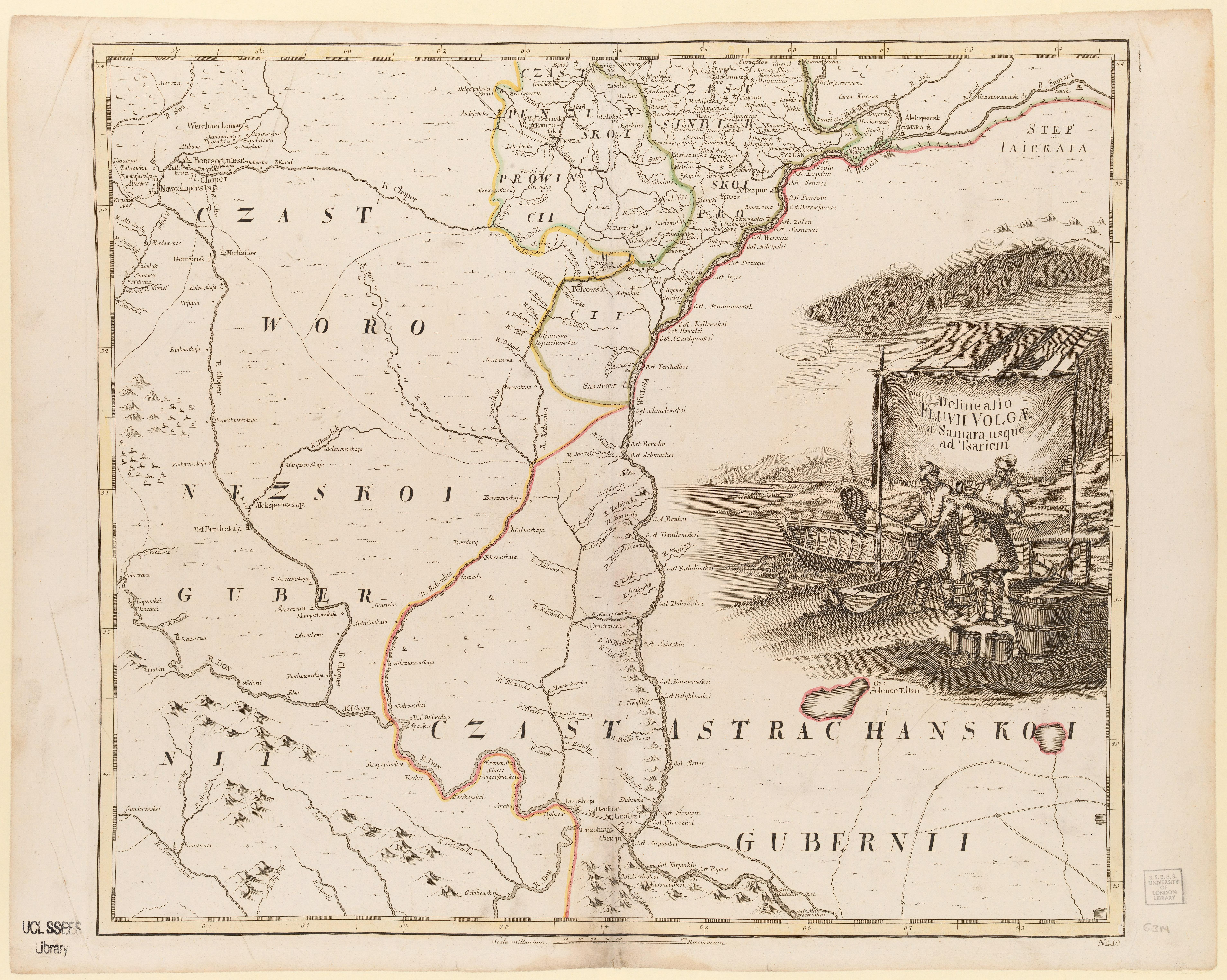
| sheet title | Delineatio Fluvii Volgae a Samara usque ad Tsaricin |
| publication year | 1745 |
| map/scan condition | good |
| scan resolution | 300 dpi |
| scan colors | rgb |
| remarks | Atlas russien :contenant une carte générale et dixneuf cartes particulères de tout l'empire de Russie et des pays limitrophes : construites conformément aux règles de la géographie et aux dernières observations /par l'Académie Imperiale des Sciences de St. Petersbourg.Delineatio Fluvii Volgae a Samara usque ad Tsaricin Imperatorskai͡a akademīi͡a nauk (Russia) Attributed to L'Isle, Joseph Nicolas de, 1688-1768. From the collections of UCL SSEES Library [Petropoli : Typis Acad. Imperialis Scientiarum , 1745] |
| file added | 2014-04-10 |
| entry edited | 2014-04-12 00:18:16 |
| from the collection of | University College of London, School of Slavonic and East European Studies |
| supplier's licence | Copyright UCL Library Services, 2010, licensed under Creative Commons Attribution-NonCommercial-ShareAlike 2.0 UK: England and Wales Licence. For further information on this Licence please refer to: http://creativecommons.org/licenses/by-nc-sa/2.0/uk/ |
