


| plik mapy | ssees0125_Continental_Landstrassen-Atlas-ca1912.jpg |
|---|---|
| rozmiar pliku | 3098361 (3.0 MB) |
| godło arkusza | CONTINENTAL |
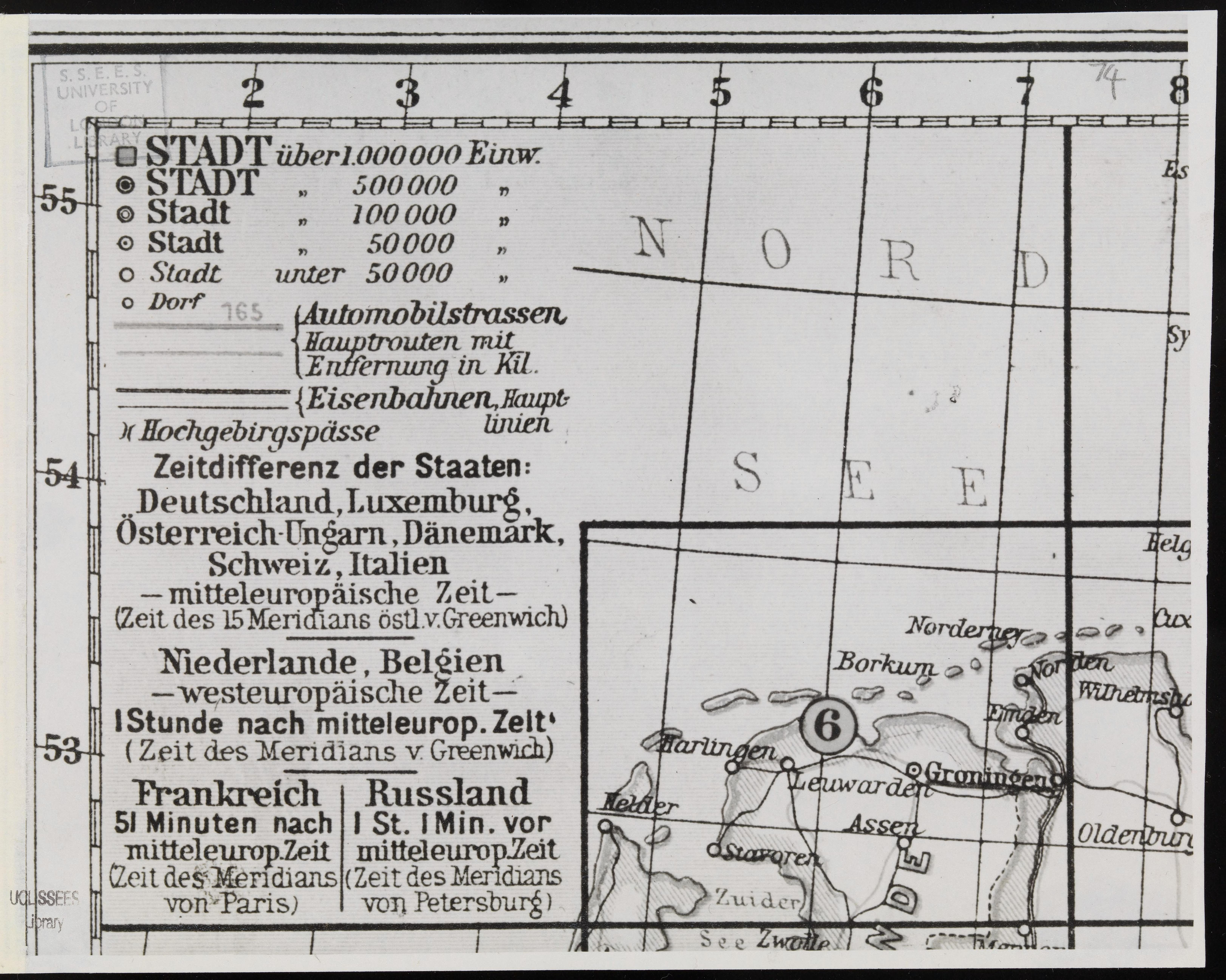
| tytuł arkusza | Continental Landstrassen-Atlas [Zeichenschlüssel] |
| nazwa współczesna | Atlas drogowy Continental, [spis znaków] |
| nazwa alternatywna | The Continental Road Atlas, [list of signs] |
| rok wydania | ±1914 |
| stan mapy/skanu | dobry |
| rozdzielczość | 300 dpi |
| kolory skanu | rgb |
| uwagi | Continental Landstrassen-Atlas.[Key] From the collections of UCL SSEES Library [S.l. : s.n. , 193-?] |
| plik dodano | 2014-04-12 |
| wpis edytowano | 2014-04-12 20:28:31 |
| ze zbiorów | University College of London, School of Slavonic and East European Studies |
| licencja dostawcy | Copyright UCL Library Services, 2010, licensed under Creative Commons Attribution-NonCommercial-ShareAlike 2.0 UK: England and Wales Licence. For further information on this Licence please refer to: http://creativecommons.org/licenses/by-nc-sa/2.0/uk/ |
