


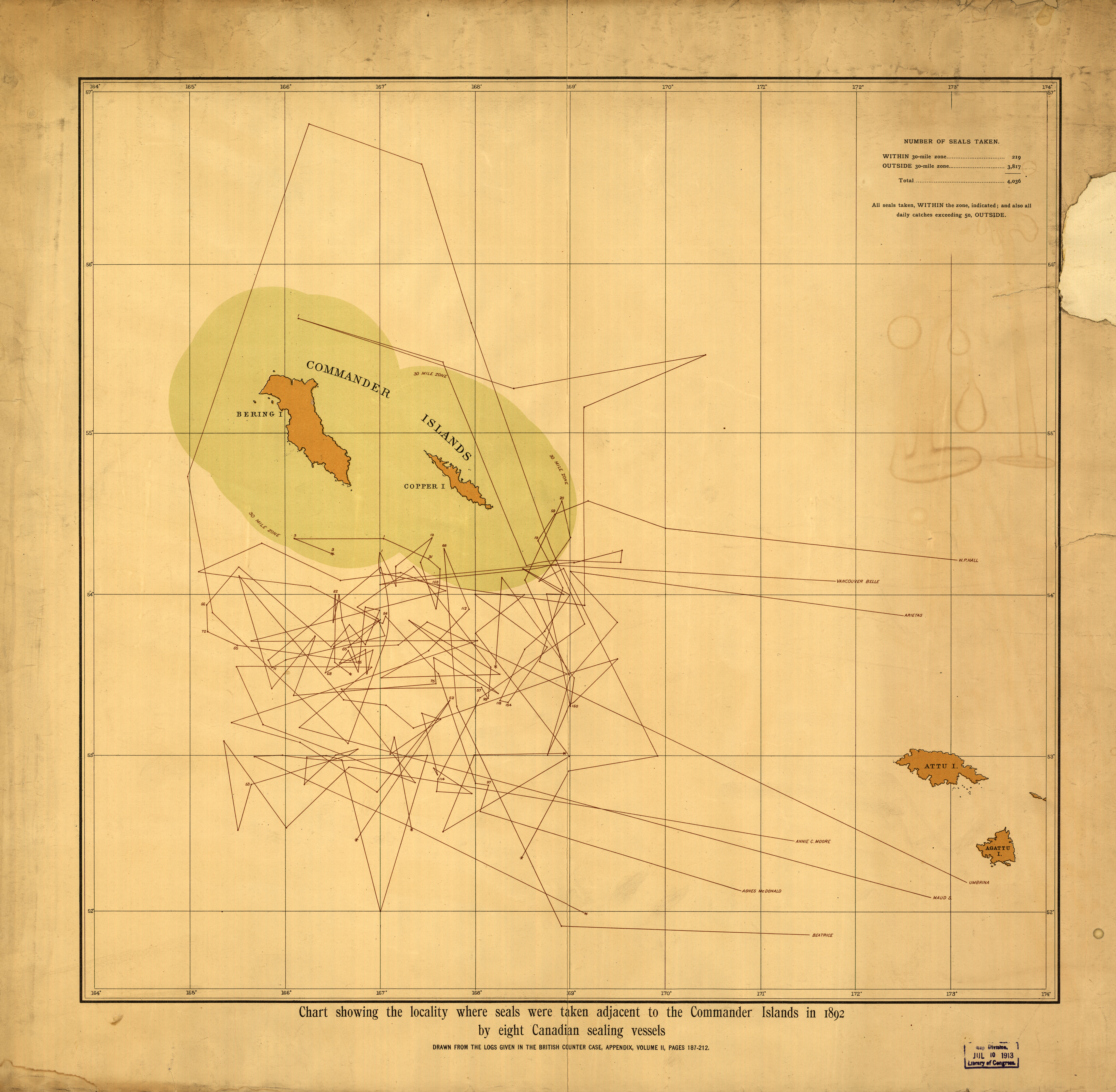
| map file | LoC_mf000019_Chart_showing_locality_where_seals_were_taken_adjacent_to_the_Commander_Islands_in_1892.jpg |
|---|---|
| file size | 25162778 (24.0 MB) |
| sheet number | RUSSIA |
| sheet title | Chart showing the locality where seals were taken adjacent to the Commander Islands |
| modern name | Mapa pokazująca miejsce gdzie schwytano foki, sąsiadujące z Wsypami Komandorskimi |
| publication year | 1892 |
| map/scan condition | good |
| scan resolution | 300 dpi |
| scan colors | rgb |
| file added | 2014-04-21 |
| entry edited | 2014-04-21 18:45:55 |
| from the collection of | The Library of Congress, Washington, DC, USA |
