


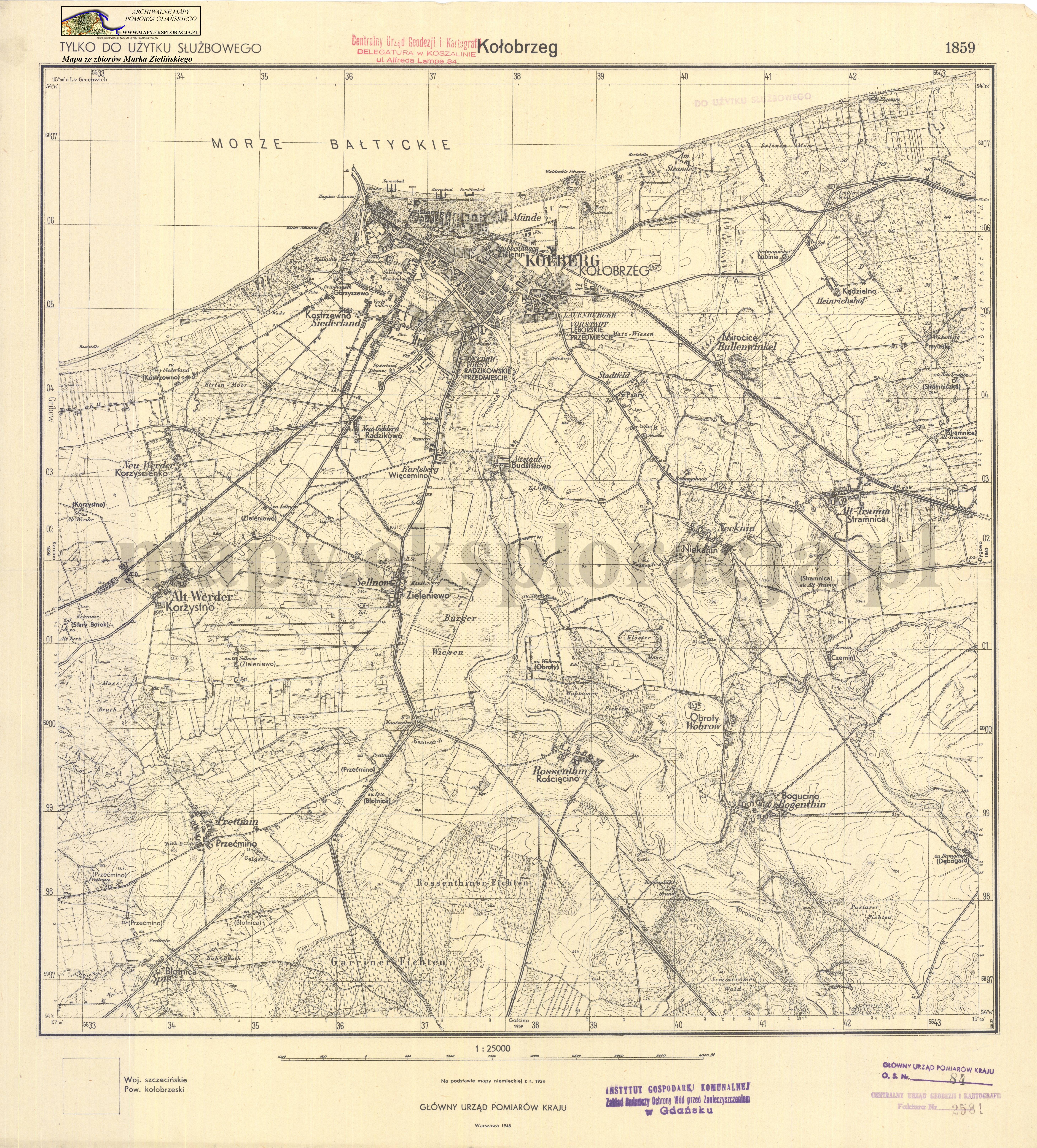
| map file | 1859_Kolobrzeg_1948_300dpi_AMPG.jpg |
|---|---|
| file size | 6426624 (6.1 MB) |
| sheet number | 1859 (521) |
| sheet title | Kołobrzeg |
| modern name | Kołobrzeg |
| publication year | 1948 |
| scan resolution | 300 dpi |
| scan colors | rgb |
| file added | 2015-04-06 |
| entry edited | 2015-04-06 16:18:28 |
| from the collection of | Archiwum Map Pomorza Gdańskiego |
