


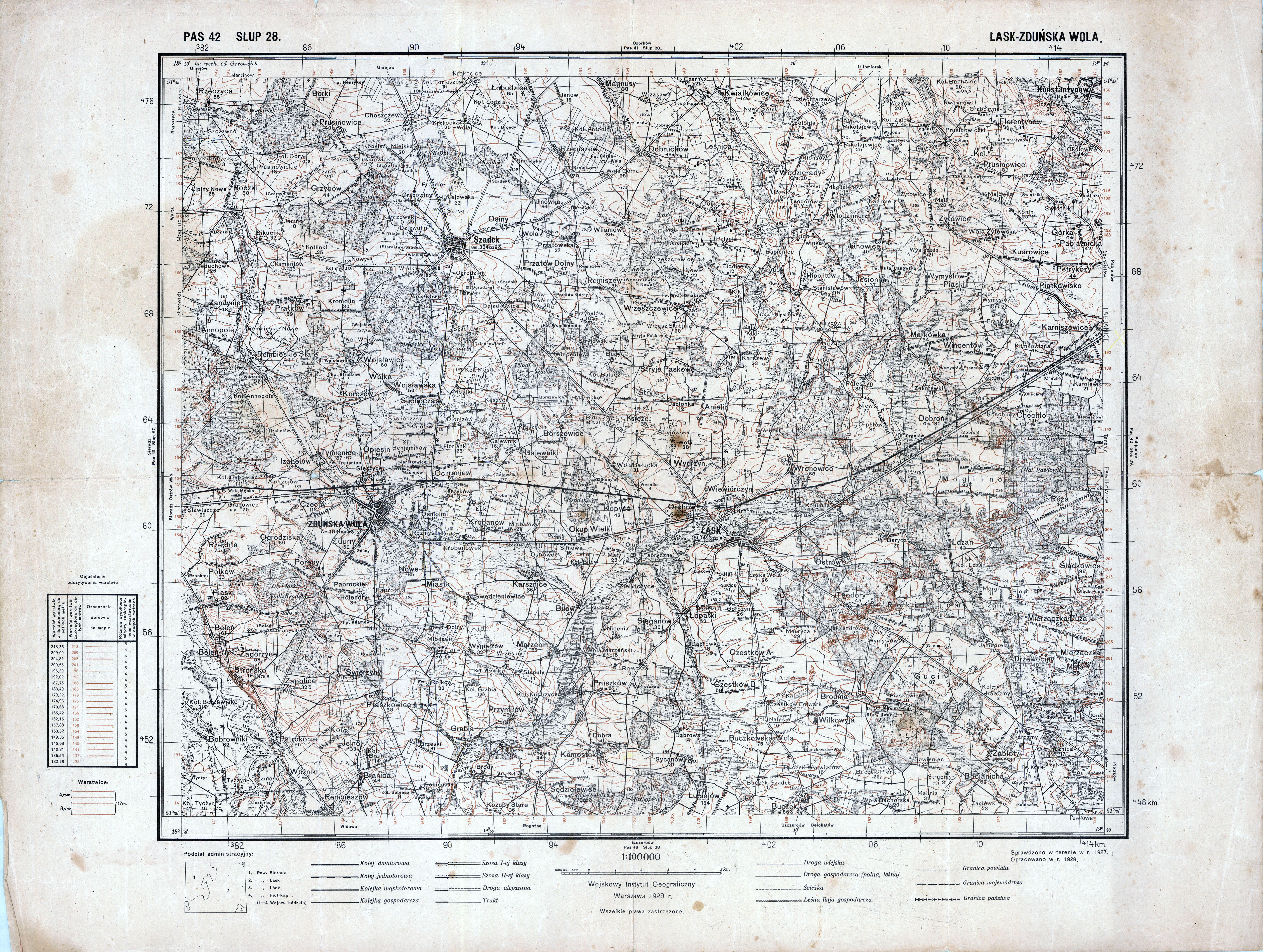
| map file | P42_S28_LASK-ZDUNSKA_WOLA_1929_300dpi.jpg |
|---|---|
| file size | 7629950 (7.3 MB) |
| sheet number | Row 42 Col 28 (A42 B28) |
| sheet title | ŁASK-ZDUŃSKA WOLA (2) |
| modern name | Łask, ZduńskaWola |
| publication year | 1929 |
| publisher | Wojskowy Instytut Geograficzny |
| map type | Typ II |
| description | A type of 1926. Without the QS grid, zero meridian Greenwich. A two-colour map (basic content in black, contours in brown). |
| map/scan condition | good |
| scan resolution | 600 dpi |
| scan colors | rgb |
| file added | 2015-12-02 |
| entry edited | 2016-02-20 00:46:48 |
| from the collection of | Archiwum Map WIG |
