


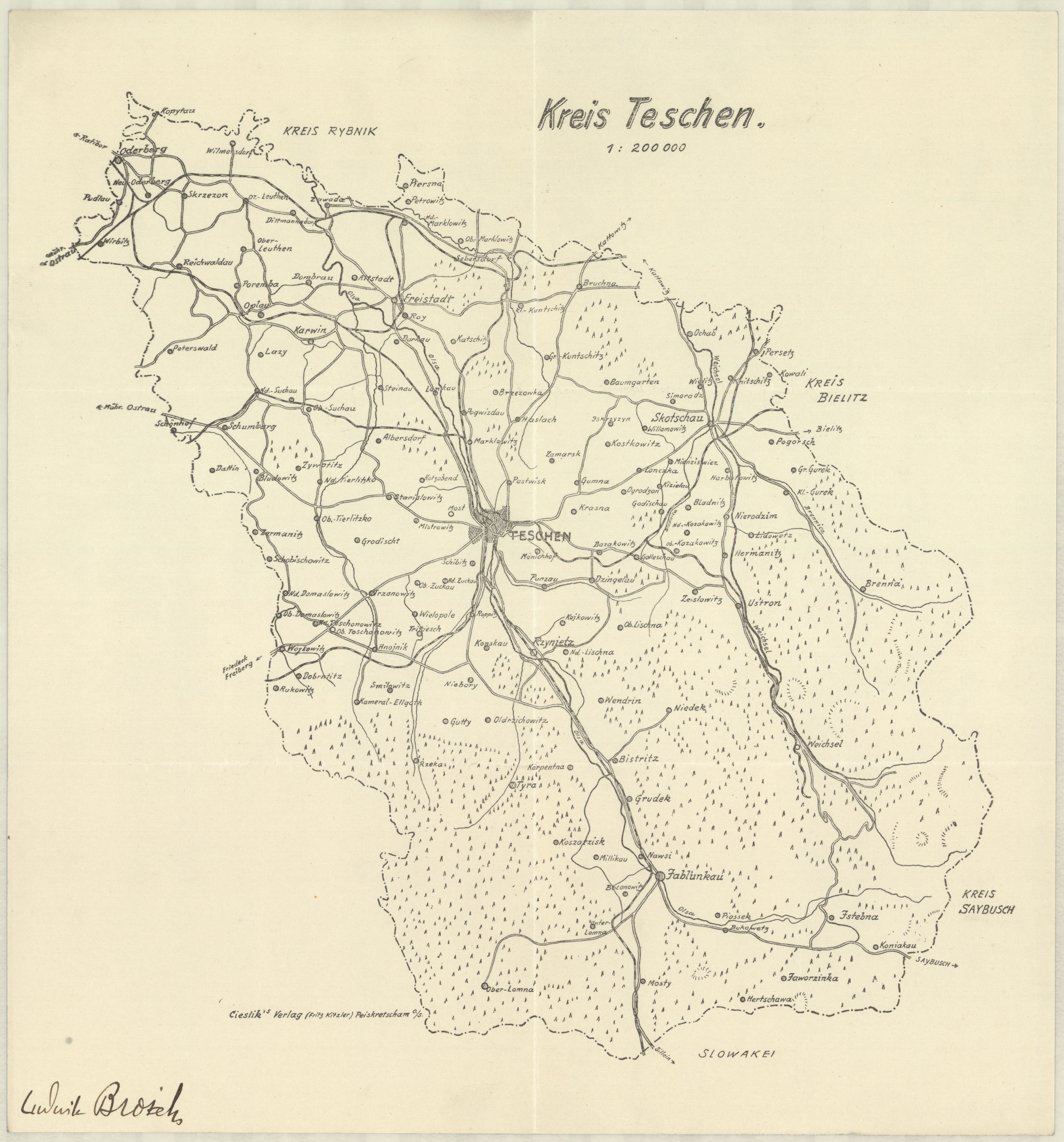
| map file | Kreis_Teschen_200K.jpg |
|---|---|
| file size | 1456527 (1.4 MB) |
| sheet number | EUROPA |
| map sheet scale | 1:200,000 |
| sheet title | Kreis Teschen |
| publication year | ±1940 |
| map/scan condition | good |
| scan resolution | 300 dpi |
| scan colors | rgb |
| file added | 2016-05-10 |
| entry edited | 2016-05-10 11:18:21 |
| from the collection of | Składnica Map Biblioteki Wydziału Nauk o Ziemi Uniwersytetu Śląskiego |
