


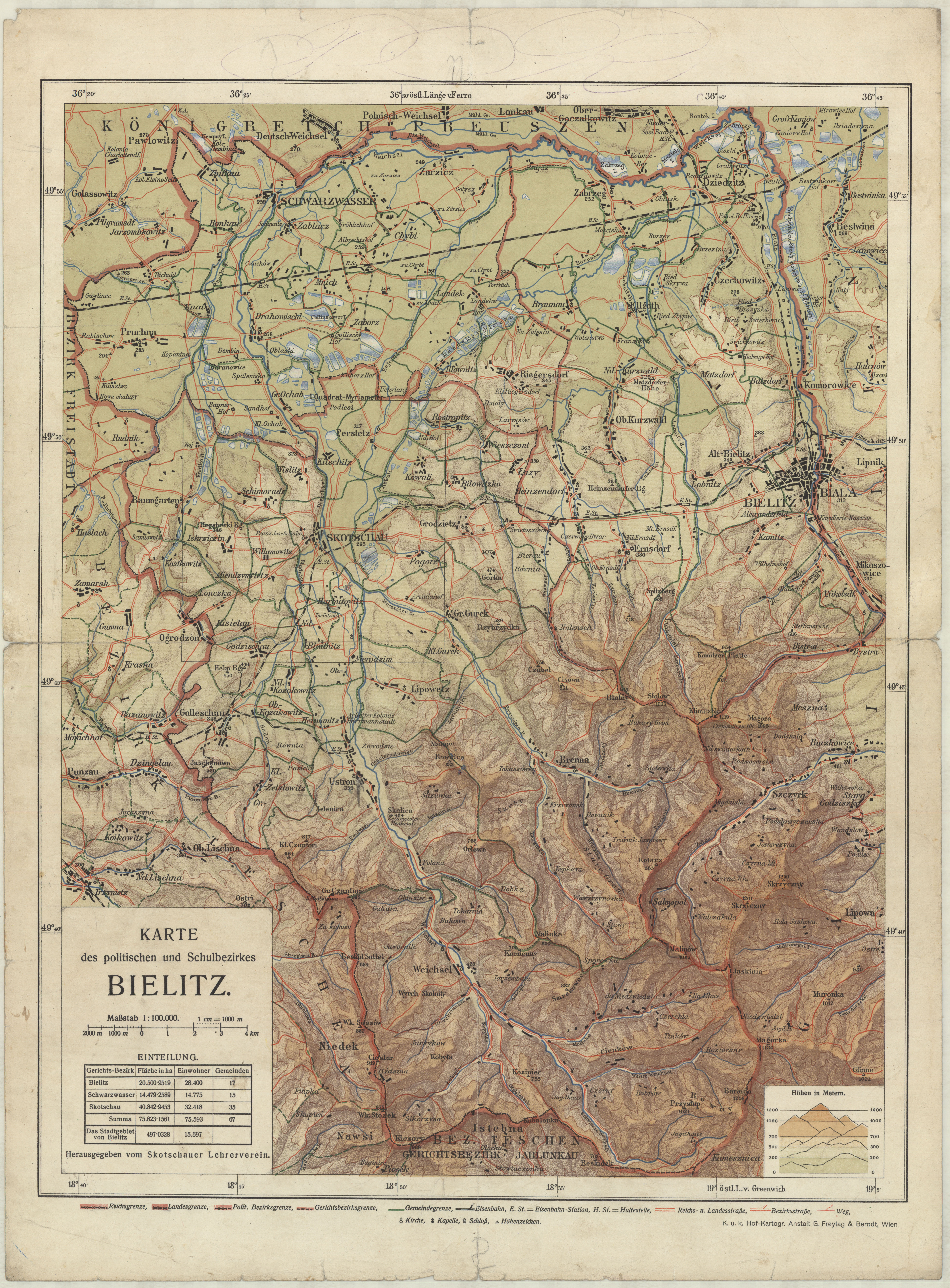
| map file | KARTE_politisch_u._Schulbezirkes_BIELITZ_100K.jpg |
|---|---|
| file size | 8591609 (8.2 MB) |
| sheet number | ŚLĄSK |
| map sheet scale | 1:100,000 |
| sheet title | KARTE des politischen und Schulbezirkes BIELITZ |
| publication year | ±1910 |
| map/scan condition | good |
| scan resolution | 400 dpi |
| scan colors | rgb |
| remarks | K.u.K. Hof-Kartogr. Anstalt G. Freytag & Berndt, Wien |
| file added | 2016-05-10 |
| entry edited | 2016-05-10 11:32:47 |
| from the collection of | Składnica Map Biblioteki Wydziału Nauk o Ziemi Uniwersytetu Śląskiego |
