


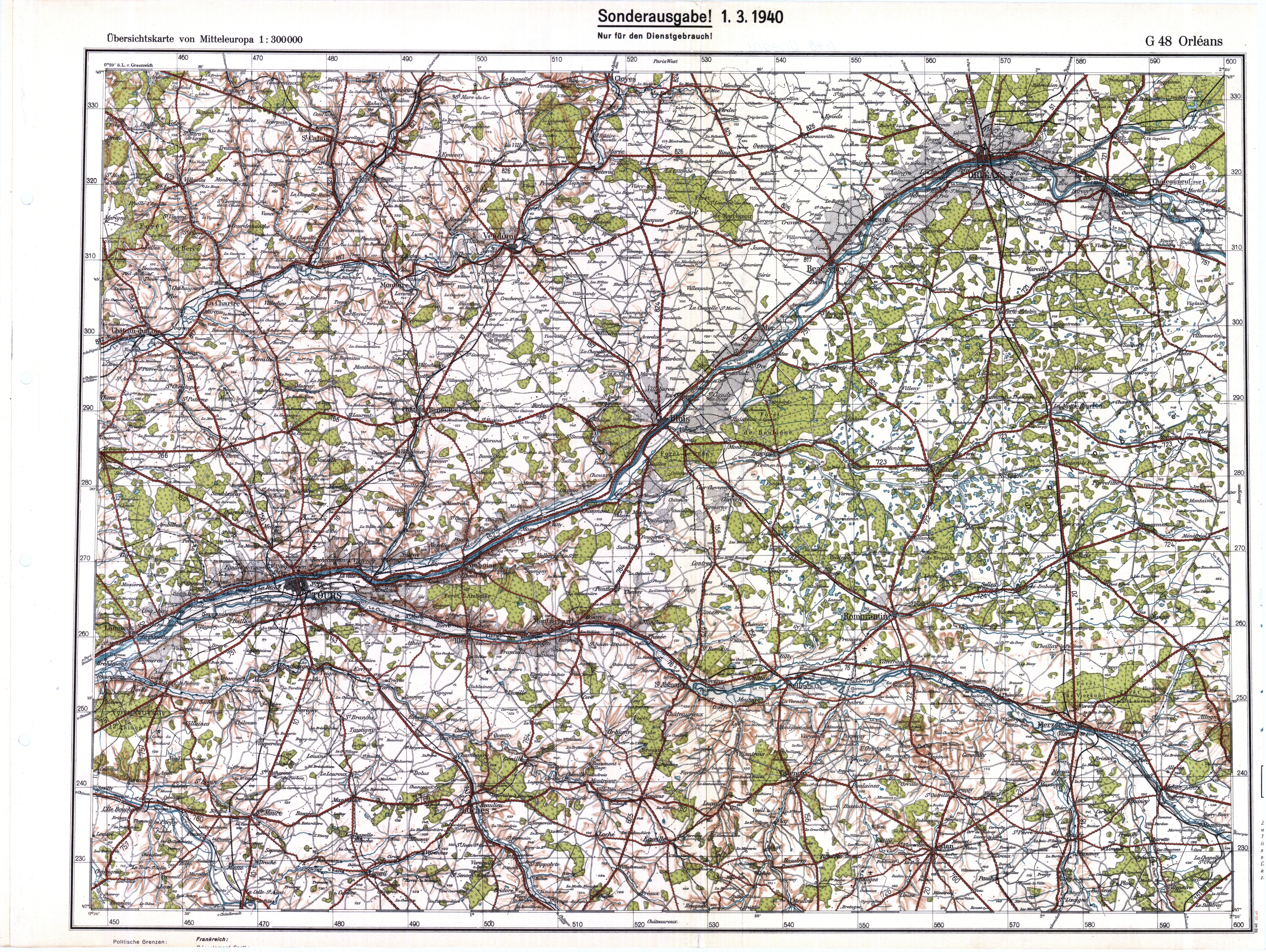
| map file | G48_Orleans_3.1940.jpg |
|---|---|
| file size | 9527571 (9.1 MB) |
| sheet number | G48 |
| sheet title | Orleans |
| publication year | 1940 |
| publisher | Reichsamt für Bodenforschung |
| keywords | a special edition, for office use |
| map/scan condition | average |
| scan resolution | 300 dpi |
| scan colors | rgb |
| remarks | Sonderausgabe 1.3.1940 |
| file added | 2016-05-22 |
| entry edited | 2016-05-22 23:11:13 |
| from the collection of |
