


| Kartedatei | 6_XII_Kuttenberg_und_Kohljanowitz_1894_200dpi_NYPL1226337.jpg |
|---|---|
| Dateigröße | 39759933 (37.9 MB) |
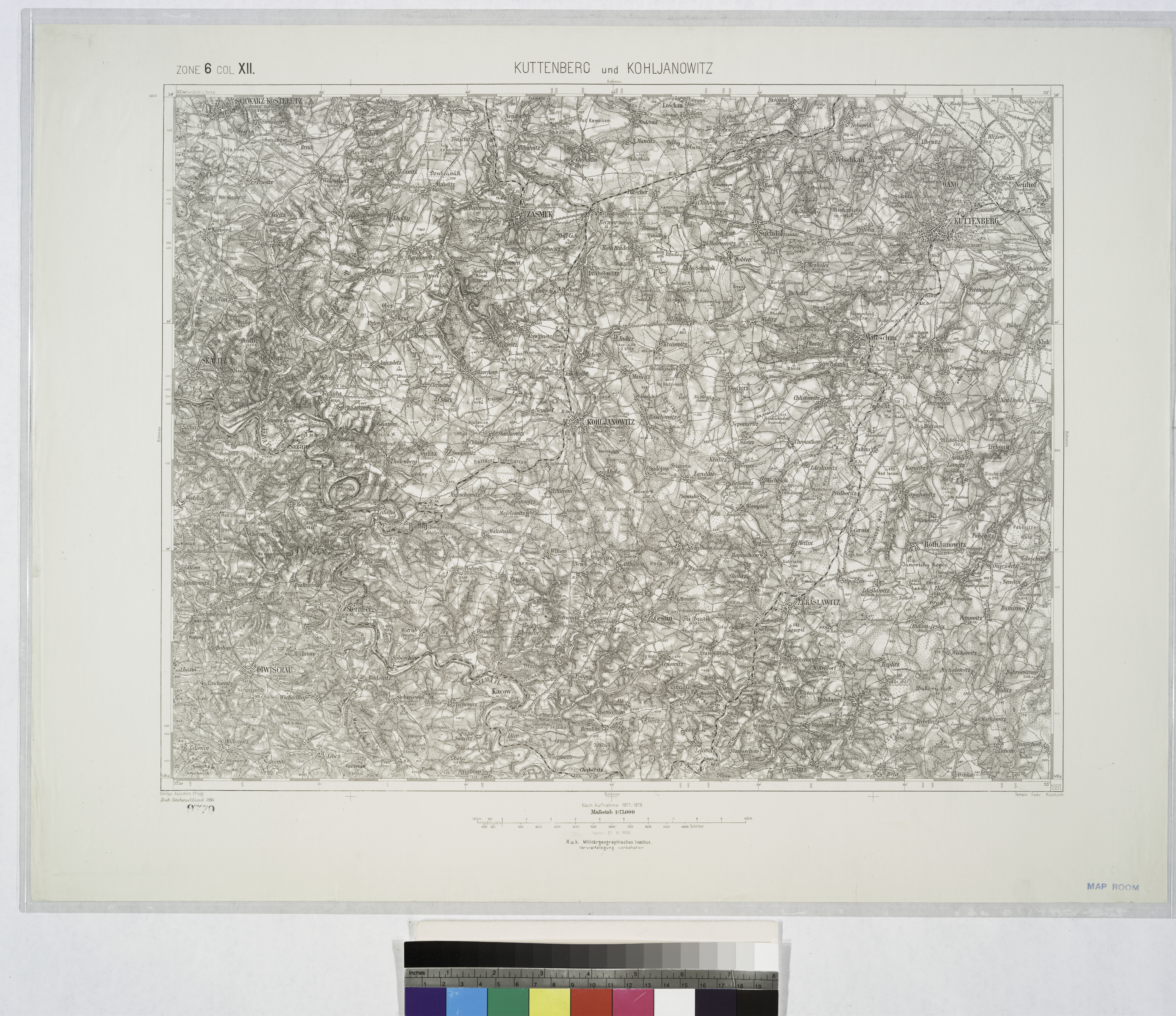
| Blattnummer | 6 XII (4054) |
| Blatttitel | Kuttenberg und Kohljanowitz |
| gegenwärtige Name | Kutná Hora, Uhlířské Janovice |
| Veröffentlichungsjahr | 1894 |
| Hersteller | K.u.k. Militärgeographisches Institut in Wien |
| Karte/Scanzustand | schlecht |
| Scanauflösung | 200 dpi |
| Scanfarben | rgb |
| Hinweise | UUID: 39658f90-c5ef-012f-b6e6-58d385a7bc34 NYPL catalog ID (B-number): b15888873 RLIN/OCLC: 22951454 |
| Datei hinzugefügt | 2016-09-25 |
| Eintrag editiert | 2016-09-25 19:51:54 |
| aus der Sammlung von | Courtesy of Lionel Pincus and Princess Firyal Map Division. The New York Public Library, NY, USA |
| Shelf locator: Map Div. 04-336 | |
| Quelleanmerkung | DL image id: 1226337 |
