


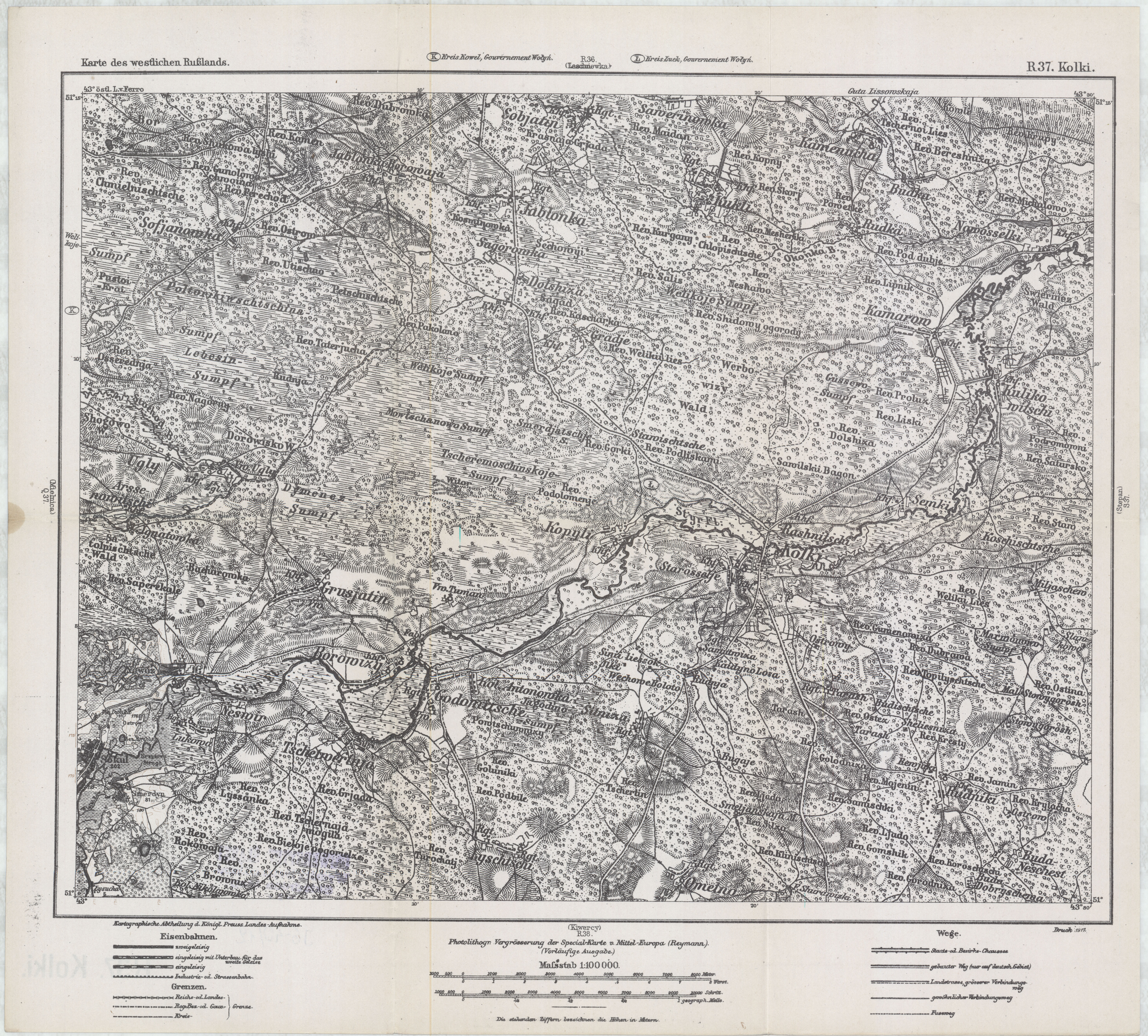
| map file | KdwR_R37_Kolki_1917_v2_400dpi.jpg |
|---|---|
| file size | 7782760 (7.4 MB) |
| sheet number | R 37 |
| sheet title | Kolki (v. 2) |
| modern name | Колки |
| alternative name | Kołki |
| publication year | 1917 |
| publisher | Königlich-Preussische Landesaufnahme |
| map/scan condition | good |
| scan resolution | 400 dpi |
| scan colors | rgb |
| file added | 2016-12-20 |
| entry edited | 2016-12-20 00:10:58 |
| from the collection of | Składnica Map Biblioteki Wydziału Nauk o Ziemi Uniwersytetu Śląskiego |
