| map file | GSGS_4234_FRANCE_BREST_PLAN_OF_PORT_AND_TOWN_6.67K_Ed1_8-1943_AMS2_PCC6479207.jpg |
|---|
| file size | 6040814 (5.8 MB) |
|---|
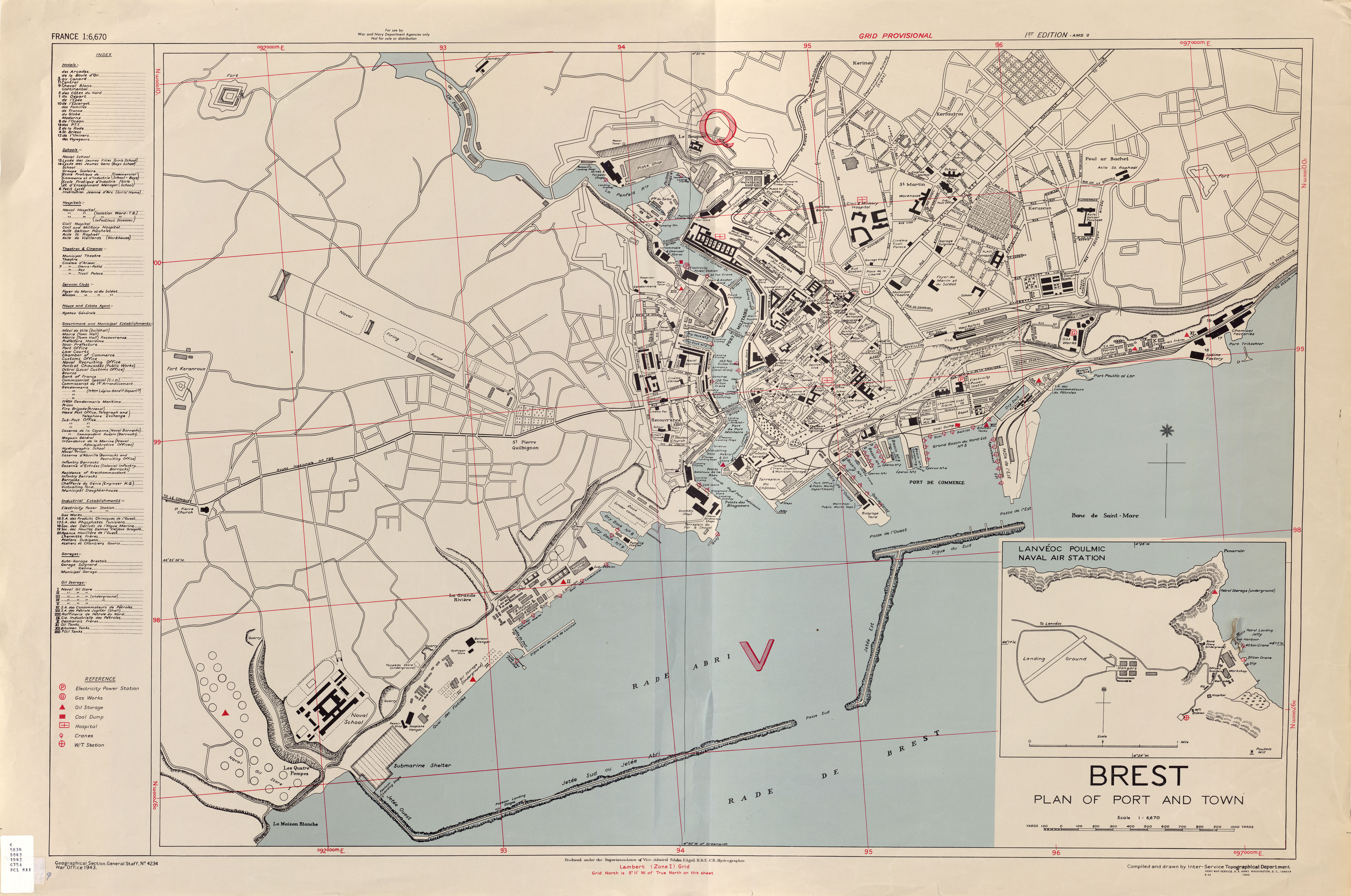
| sheet number | Brest (GSGS 4234 France) |
|---|
| map sheet scale | 1:6,670 |
|---|
| sheet title | BREST PLAN OF PORT AND TOWN |
|---|
| annotation | GSGS 4234 France city plans |
|---|
| publication year | 1943 |
|---|
| publisher | Army Map Service, Defense Mapping Agency |
|---|
| map/scan condition | average |
|---|
| scan resolution | -200 dpi |
|---|
| scan colors | rgb |
|---|
| remarks | First edition 8-1943 AMS2 |
|---|
| file added | 2017-10-03 |
|---|
| entry edited | 2017-10-03 00:42:39 |
|---|
| from the collection of | University of Texas Library |
|---|
| source reference | dl id: 6479207 |
|---|


