


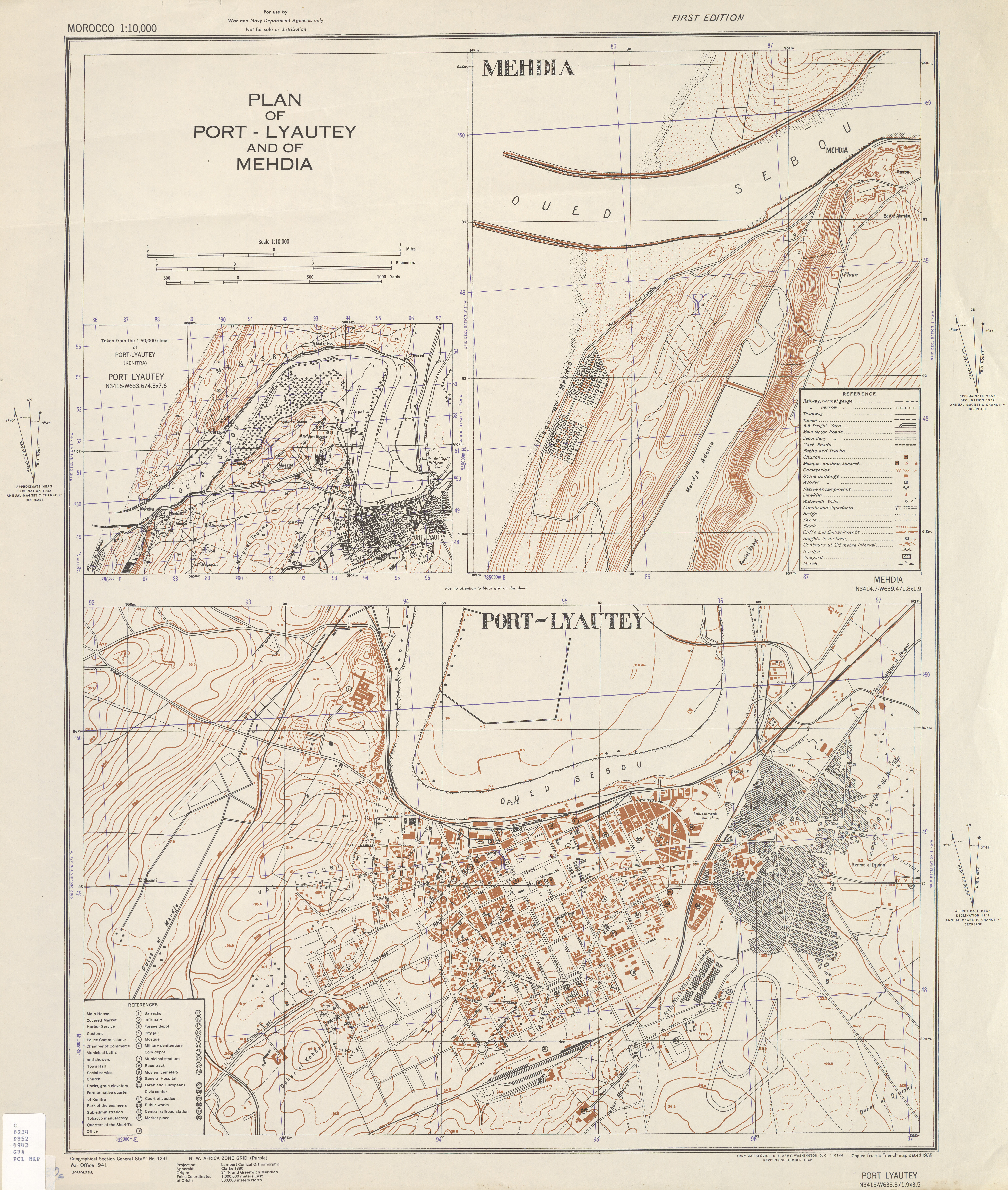
| map file | GSGS_4241_MOROCCO_PLAN_OF_PORT-LYAUTEY_AND_MEHDIA_10K_Ed1_AMS_REVISION_SEPTEMBER_1942_PCC6543797.jpg |
|---|---|
| file size | 7930730 (7.6 MB) |
| sheet number | Port-Lyautey (GSGS 4241 Morocco city plans) |
| map sheet scale | 1:10,000 |
| sheet title | PLAN OF PORT-LYAUTEY |
| annotation | GSGS 4241 MOROCC |
| publication year | 1942 |
| publisher | Army Map Service, Defense Mapping Agency |
| map/scan condition | good |
| scan resolution | -200 dpi |
| remarks | Ed1 AMS REVISION SEPTEMBER 1942 |
| file added | 2018-01-22 |
| entry edited | 2018-01-22 20:45:50 |
| from the collection of | University of Texas Library |
| source reference | PCC6543797 |
