


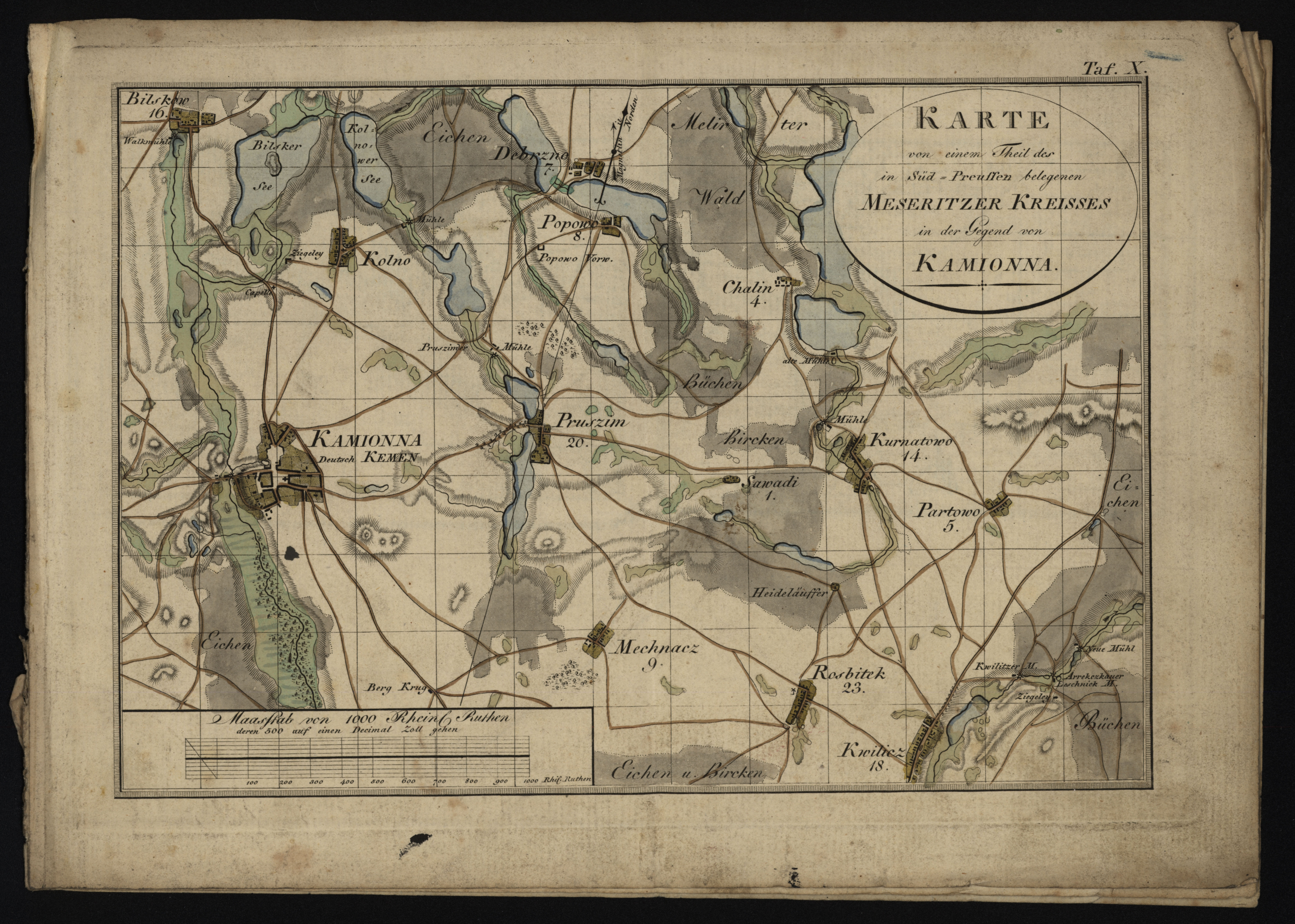
| map file | KARTE..._MESERITZER_KREISSES_KAMIONNA.jpg |
|---|---|
| file size | 4930799 (4.7 MB) |
| sheet number | empty |
| sheet title | KARTE von einem Theil des in Sued-Preussen belegenen MESSERITZER KREISSES in der Gegend von KAMIONNA |
| publication year | ±1800 |
| map/scan condition | good |
| scan resolution | 600 dpi |
| scan colors | rgb |
| file added | 2018-03-09 |
| entry edited | 2018-03-09 15:28:56 |
| from the collection of | Składnica Map Biblioteki Wydziału Nauk o Ziemi Uniwersytetu Śląskiego |
