


| plik mapy | KuK075_Zone_1_Col._XII_Tschernhausen_und_Preuss._Görlitz_1901_300dpi_bcuj500957.jpg |
|---|---|
| rozmiar pliku | 20878164 (19.9 MB) |
| godło arkusza | 1 XII (3554) |
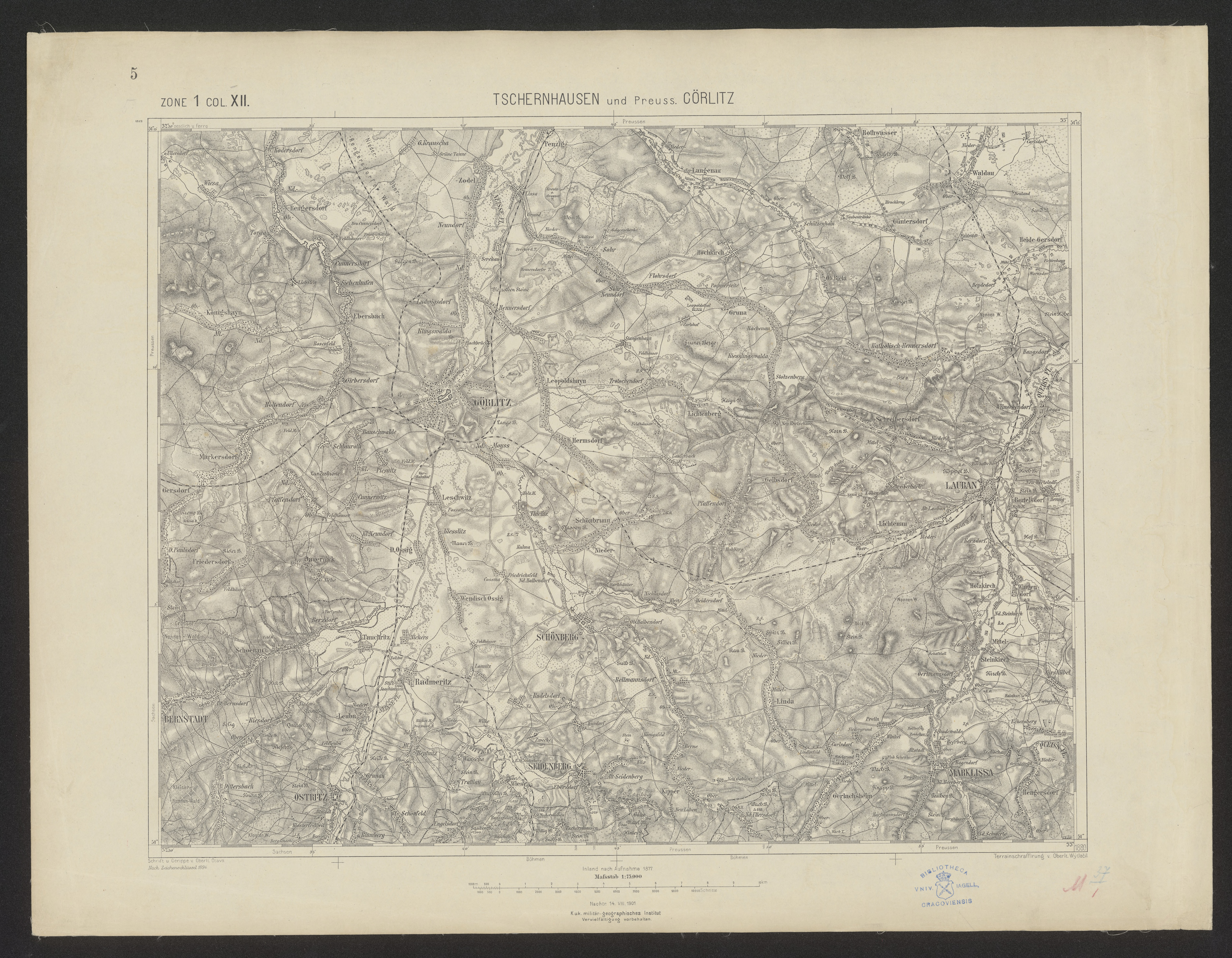
| tytuł arkusza | Tschernhausen und Preuss. Görlitz |
| nazwa współczesna | Černousy, Zgorzelec |
| nazwa alternatywna | Zhorjelc, Zgórjelc |
| nazwa alternatywna 2 | Černousy, Görlitz |
| rok wydania | 1901 |
| wydawca | K.u.k. Militärgeographisches Institut in Wien |
| stan mapy/skanu | dobry |
| rozdzielczość | 300 dpi |
| kolory skanu | rgb |
| uwagi | --------------------- Identyfikator dokumentu cyfrowego / Digital document identifier: NDIGKART025200 ------------------ Katalog komputerowy / Computer catalogue: http://chamo.bj.uj.edu.pl/uj/search/query?match_1=MUST&field_1=control&term_1=xx004081125 --------------------- |
| plik dodano | 2019-04-16 |
| wpis edytowano | 2019-04-16 22:15:46 |
| ze zbiorów | Jagiellońska Biblioteka Cyfrowa |
| sygnatura | BJ Kartogr. M 37/1 5 |
| odnośnik do źródła | dl id: 500957 |
