


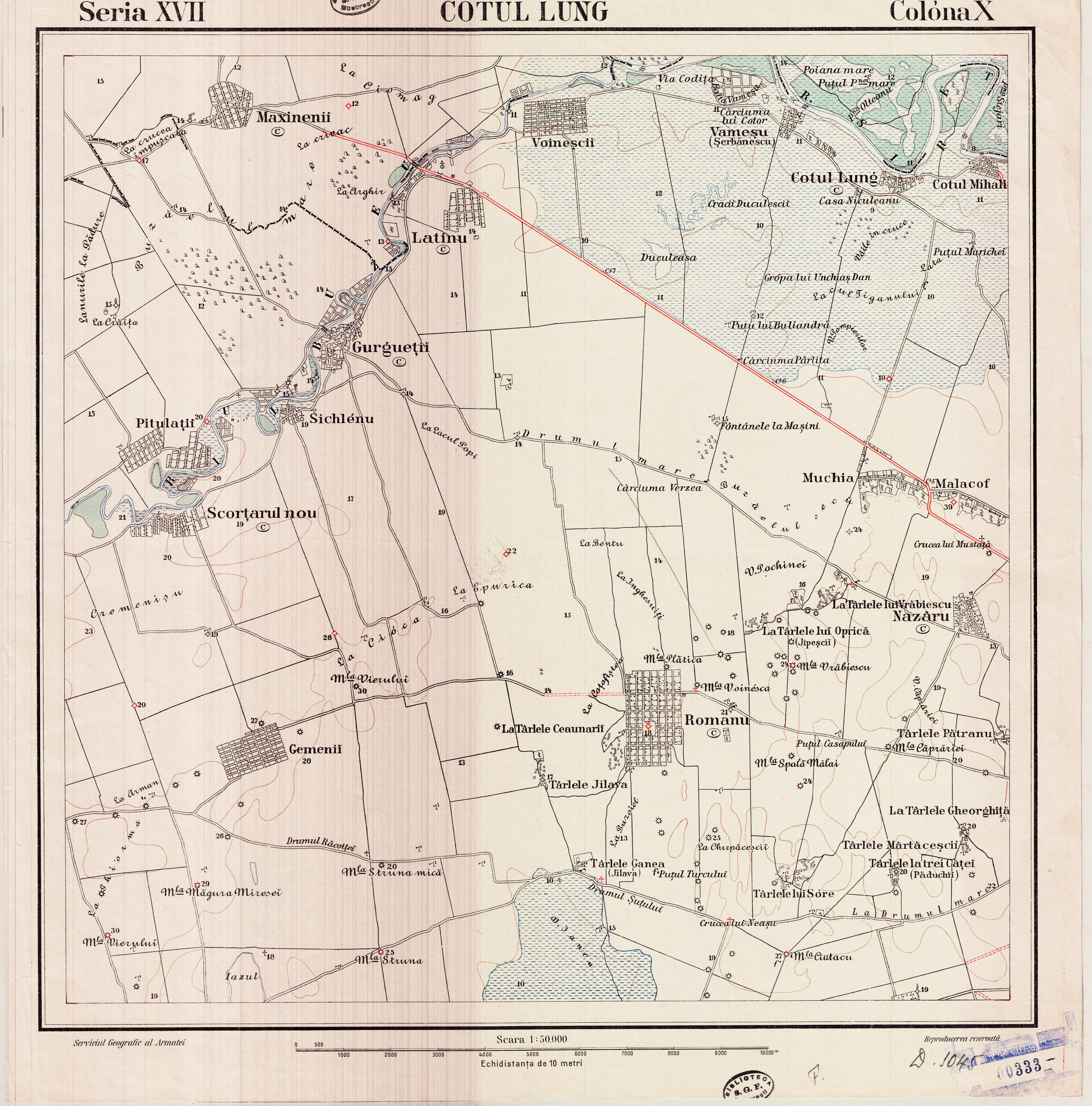
| Kartedatei | Romania50K_X17_Cotul_lung_xxxx_300dpi_eHarta1@218.jpg |
|---|---|
| Dateigröße | 4800093 (4.6 MB) |
| Blattnummer | Ser.XVII Col.X (eastern zone) |
| Blatttitel | Cotul_lung |
| Hersteller | Predecessors of Institutul Geografic Militar [Romania] |
| Scanauflösung | 300 dpi |
| Scanfarben | rgb |
| Datei hinzugefügt | 2019-04-17 |
| Eintrag editiert | 2019-04-17 23:25:49 |
| aus der Sammlung von | geo-spatial.org (eHarta) |
| Quelleanmerkung | subcollection id: 1, item id: 218 |
