


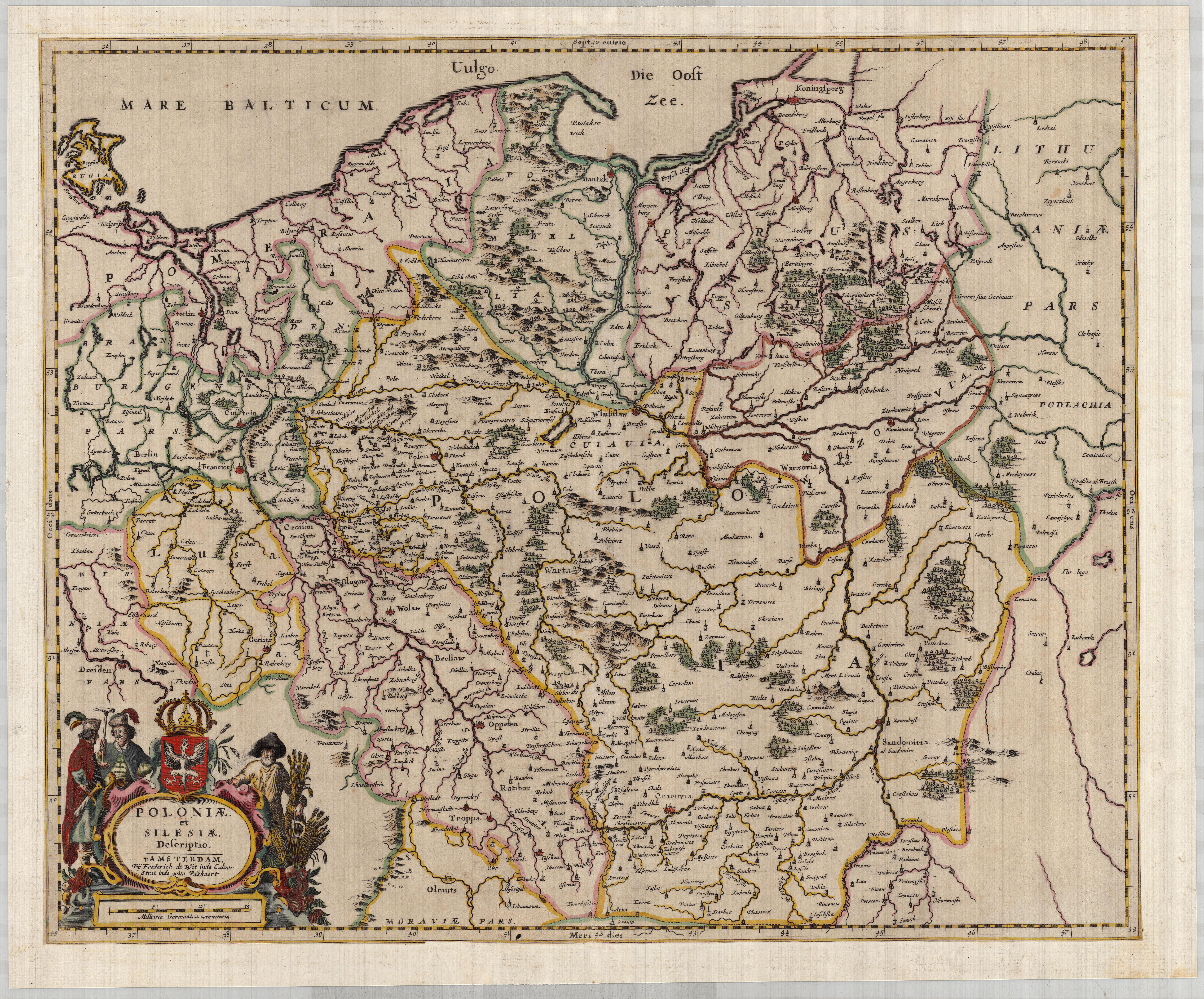
| Kartedatei | POLONIAE_ET_SILESIAE_DESCRIPTIO_1660_LoC.jpg |
|---|---|
| Dateigröße | 10564130 (10.1 MB) |
| Blattnummer | empty |
| Blatttitel | POLONIAE ET SILESIAE DESCRIPTIO |
| Veröffentlichungsjahr | 1660 |
| Karte/Scanzustand | gut |
| Scanauflösung | 300 dpi |
| Scanfarben | rgb |
| Datei hinzugefügt | 2019-08-11 |
| Eintrag editiert | 2019-08-11 22:48:06 |
| aus der Sammlung von | The Library of Congress, Washington, DC, USA |
