


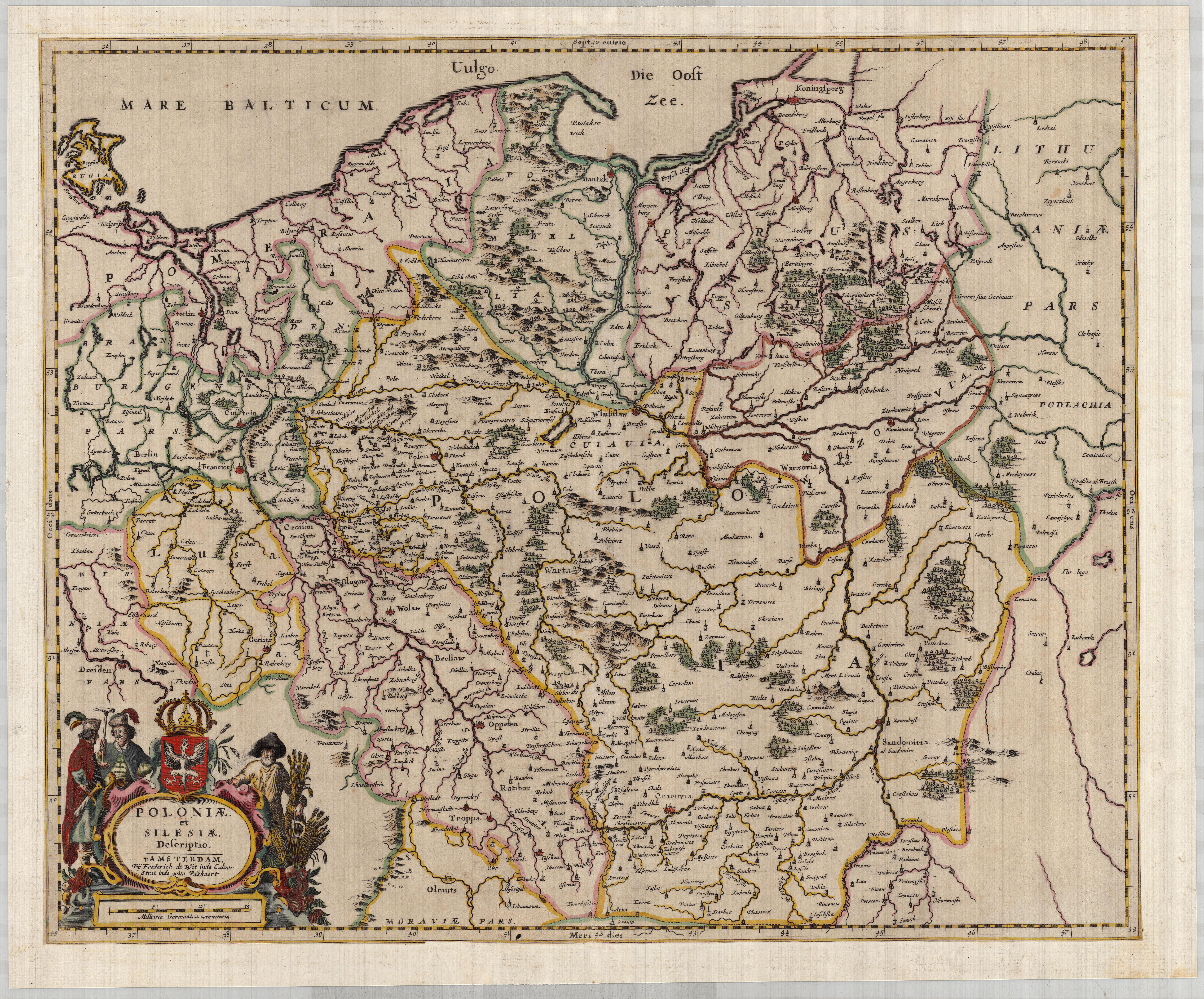
| map file | POLONIAE_ET_SILESIAE_DESCRIPTIO_1660_LoC.jpg |
|---|---|
| file size | 10564130 (10.1 MB) |
| sheet number | empty |
| sheet title | POLONIAE ET SILESIAE DESCRIPTIO |
| publication year | 1660 |
| map/scan condition | good |
| scan resolution | 300 dpi |
| scan colors | rgb |
| file added | 2019-08-11 |
| entry edited | 2019-08-11 22:48:06 |
| from the collection of | The Library of Congress, Washington, DC, USA |
