


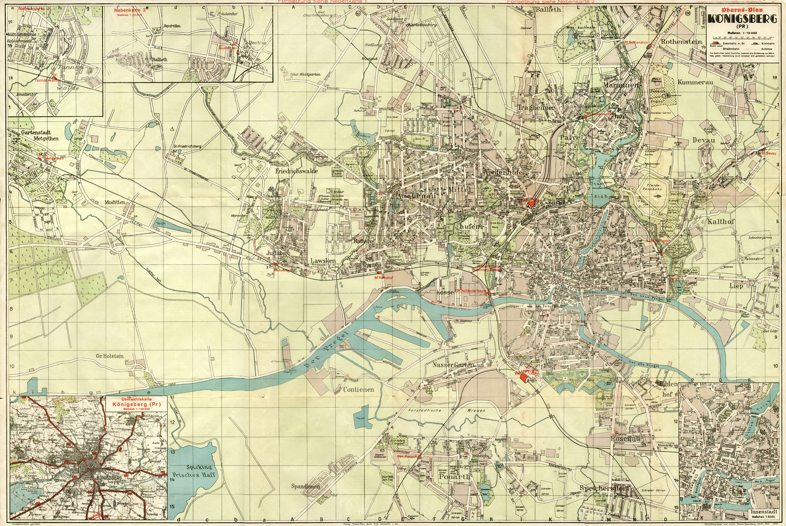
| map file | Pharus-Plan_KOENIGSBERG_15K_1940.jpg |
|---|---|
| file size | 1950143 (1.9 MB) |
| sheet number | Królewiec |
| map sheet scale | 1:15,000 |
| sheet title | Pharus-Plan KOENIGSBERG |
| publication year | 1940 |
| map/scan condition | bad |
| scan resolution | 150 dpi |
| scan colors | rgb |
| file added | 2019-12-11 |
| entry edited | 2019-12-11 13:52:13 |
| from the collection of |
