


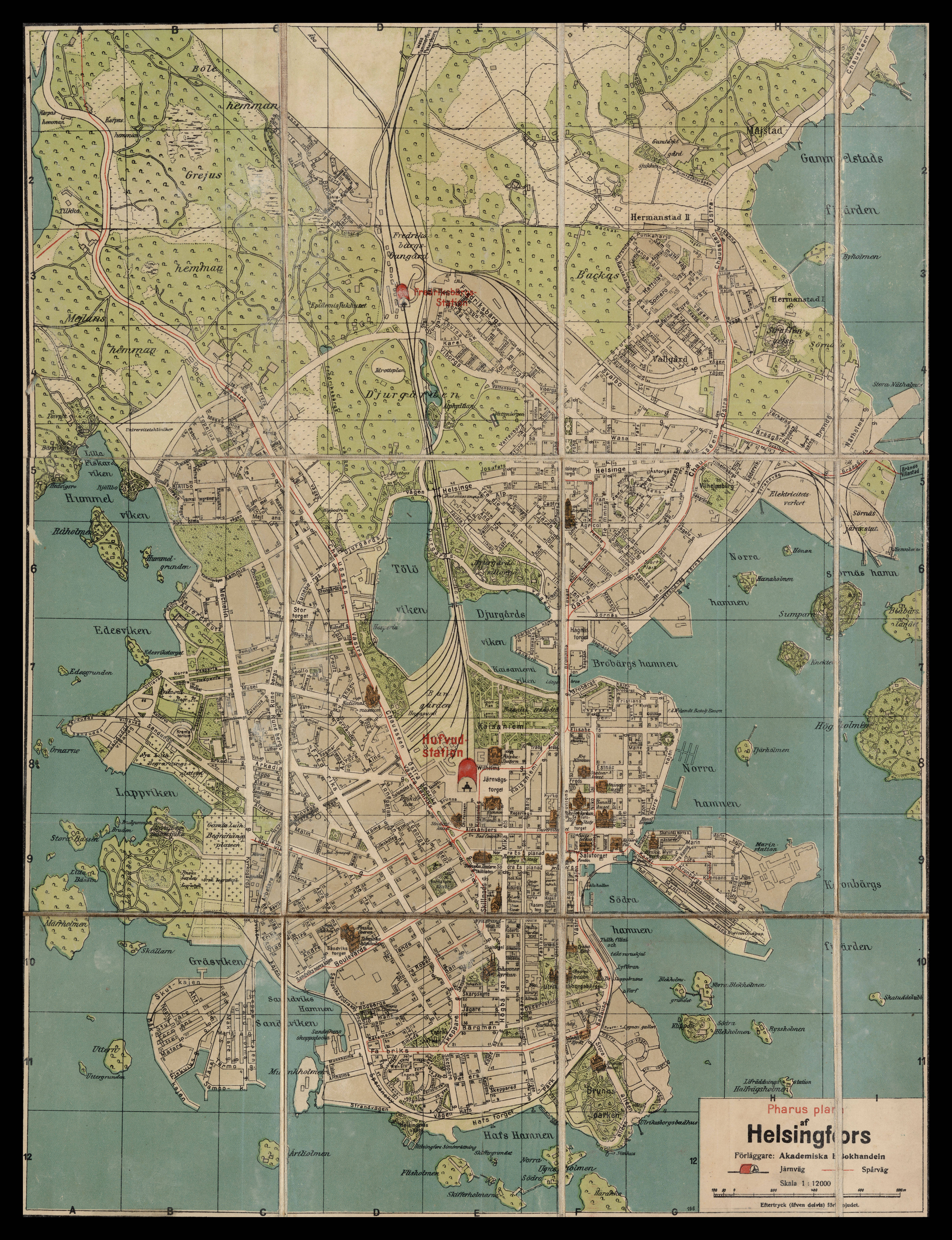
| map file | Pharus_plan_af_Helsingfors_12K_1920_RM.281920.jpg |
|---|---|
| file size | 5851044 (5.6 MB) |
| sheet number | Eur-Scand |
| map sheet scale | 1:12,000 |
| sheet title | Pharus plan af Helsingfors |
| publication year | 1920 |
| map/scan condition | good |
| scan resolution | 300 dpi |
| scan colors | rgb |
| file added | 2020-09-12 |
| entry edited | 2020-09-12 18:55:39 |
| from the collection of | Institut Cartogràfic de Catalunya |
| call no | RM.281920 |
