


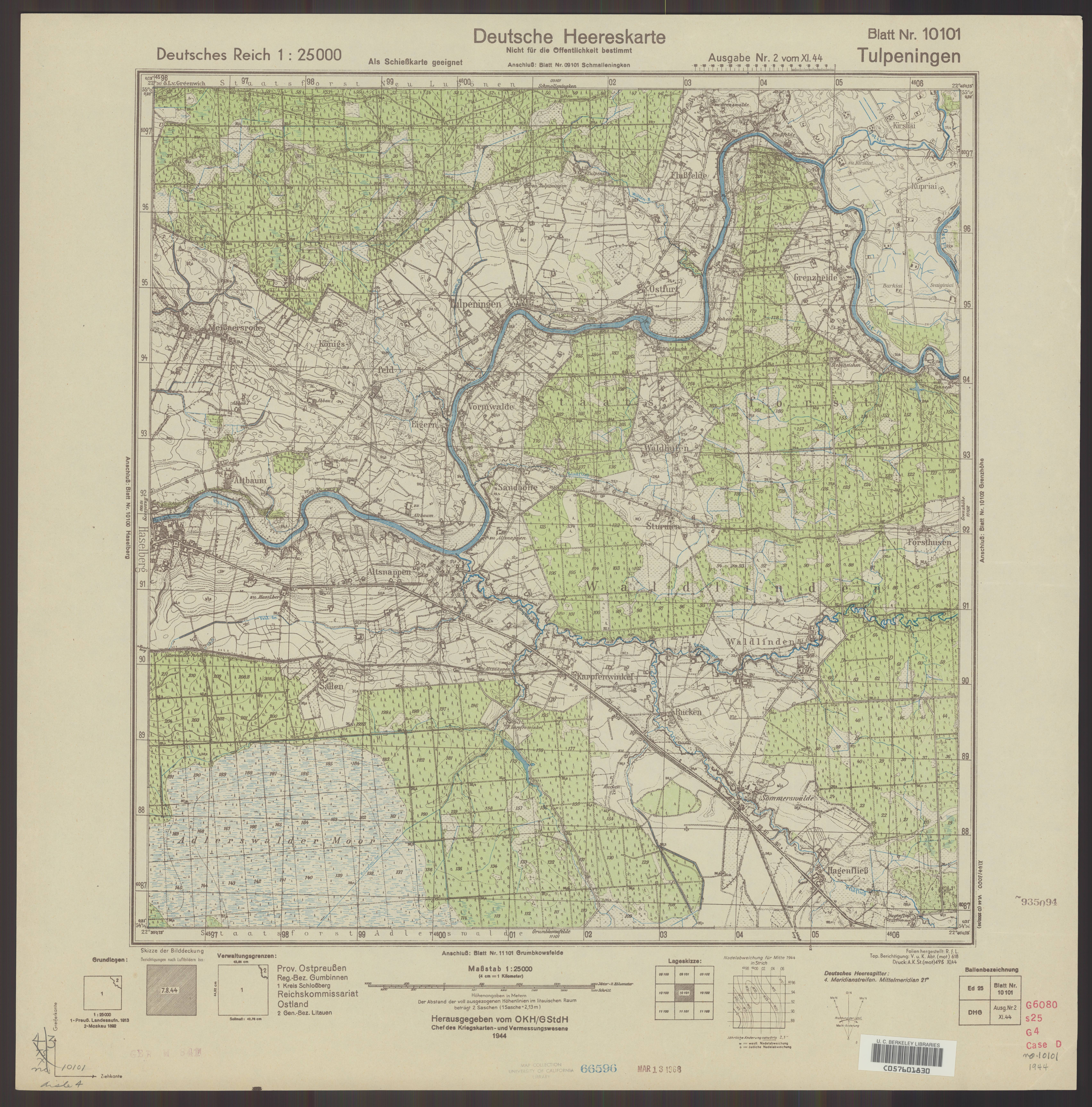
| map file | 10101_Tulpeningen_farb._XI.1944_uniberk_C057601830.jpg |
|---|---|
| file size | 5579287 (5.3 MB) |
| sheet number | 10101 (119) |
| map sheet scale | 1:25,000 |
| sheet title | Tulpeningen [farb.] |
| publication year | 1944 |
| publisher | Oberkommando des Heeres / Generalstab |
| scan resolution | 300 dpi |
| scan colors | rgb |
| file added | 2020-10-12 |
| entry edited | 2020-10-12 16:41:48 |
| from the collection of | The University of California Berkeley Library |
| call no | dl id: C057601830 |
