


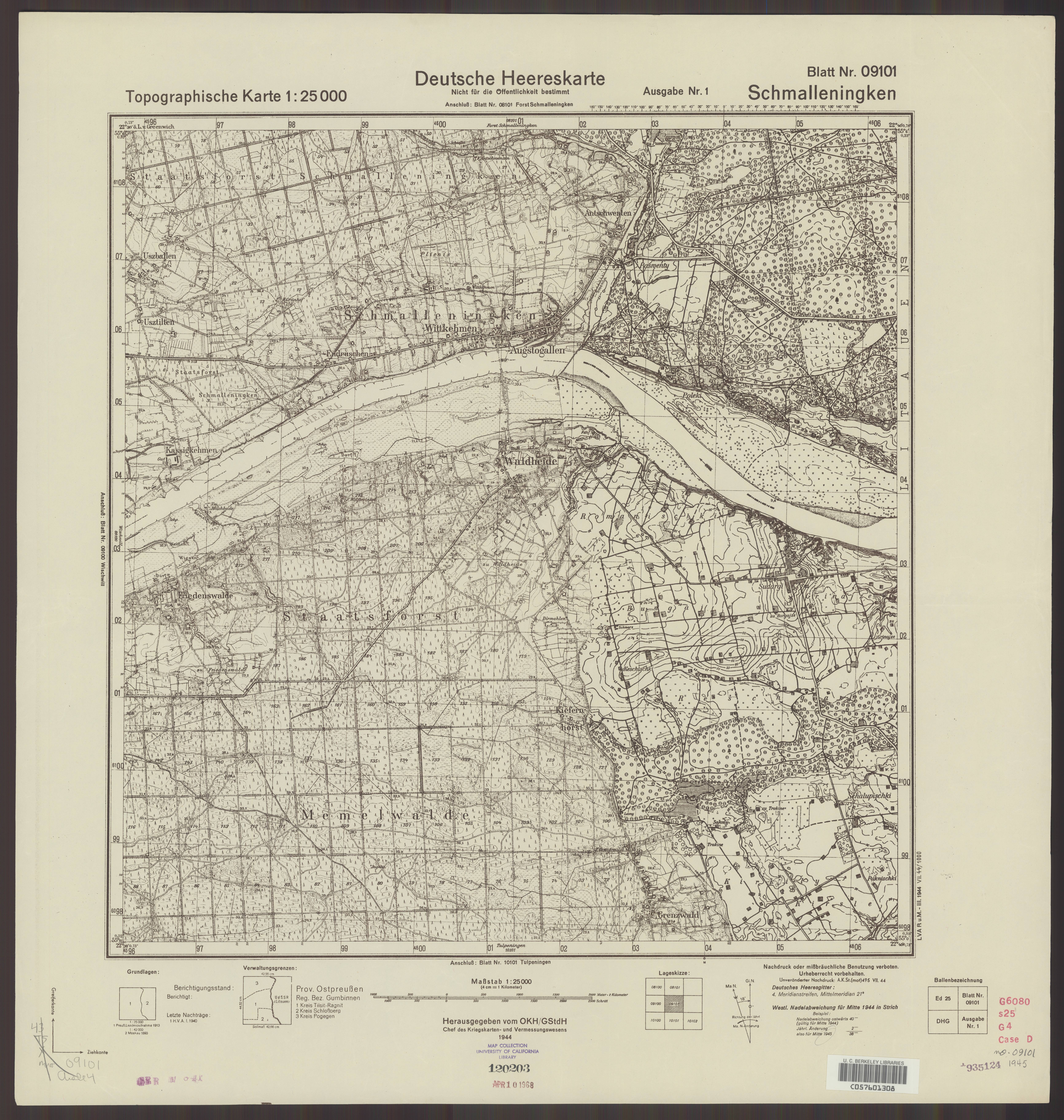
| map file | 09101_Schmalleningken_VII.1944_uniberk_C057601308.jpg |
|---|---|
| file size | 6152009 (5.9 MB) |
| sheet number | 9101 (90) |
| map sheet scale | 1:25,000 |
| sheet title | Schmalleningken |
| publication year | 1944 |
| publisher | Oberkommando des Heeres / Generalstab |
| map/scan condition | good |
| scan resolution | 300 dpi |
| scan colors | rgb |
| file added | 2020-10-13 |
| entry edited | 2020-10-13 12:39:13 |
| from the collection of | The University of California Berkeley Library |
