


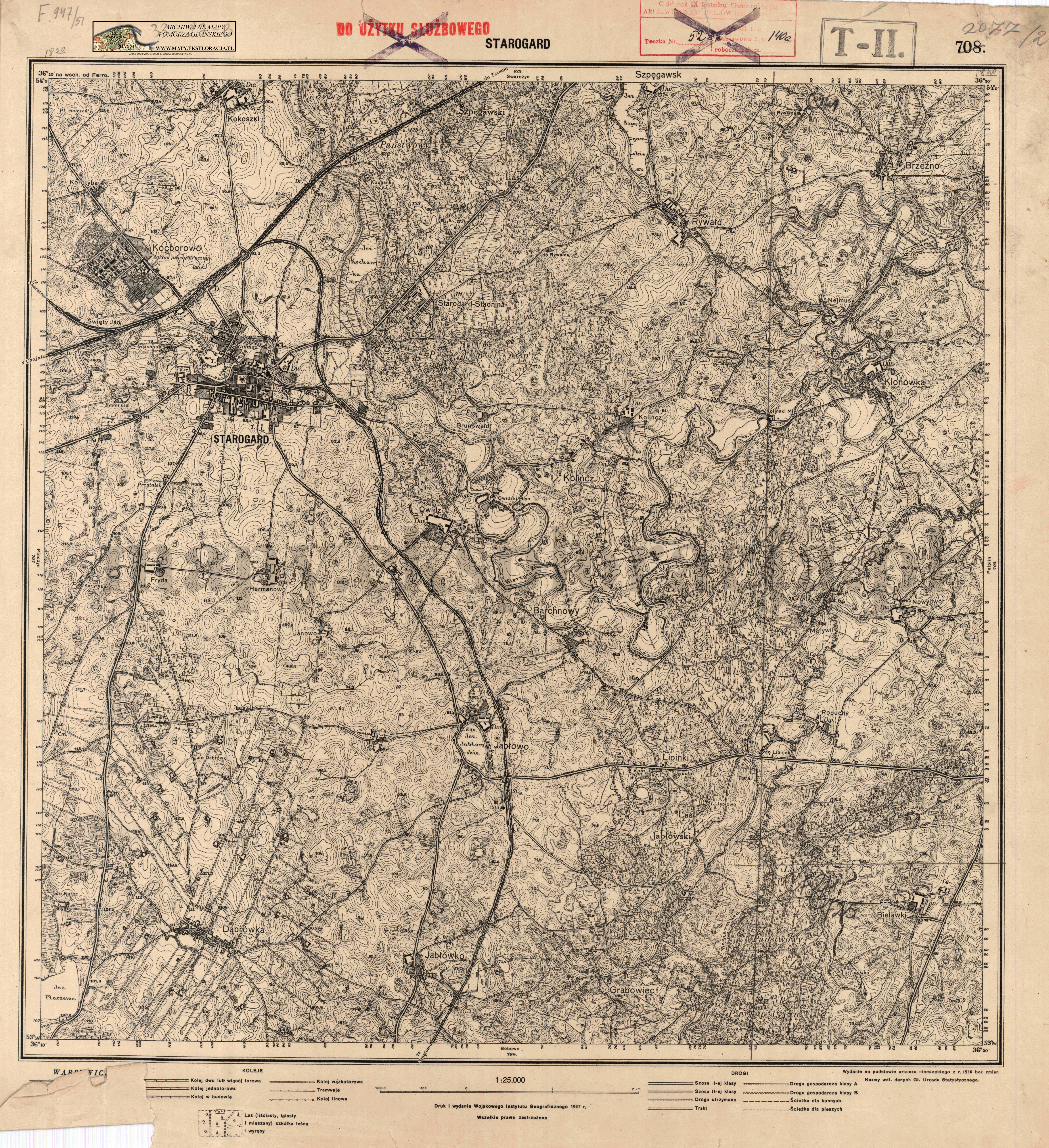
| map file | 2077_Pr_Stargard_WIG_1927_300dpi_AMPG.jpg |
|---|---|
| file size | 8144956 (7.8 MB) |
| sheet number | empty |
| map sheet scale | 1:25,000 |
| sheet title | 2077 Pr Stargard |
| publication year | 1927 |
| publisher | Wojskowy Instytut Geograficzny |
| map/scan condition | good |
| scan resolution | 300 dpi |
| scan colors | rgb |
| file added | 2020-10-16 |
| entry edited | 2020-10-16 11:47:23 |
| from the collection of | Archiwum Map Pomorza Gdańskiego Pan Mikołaj (www.forum.dawnygdansk.pl) |
