


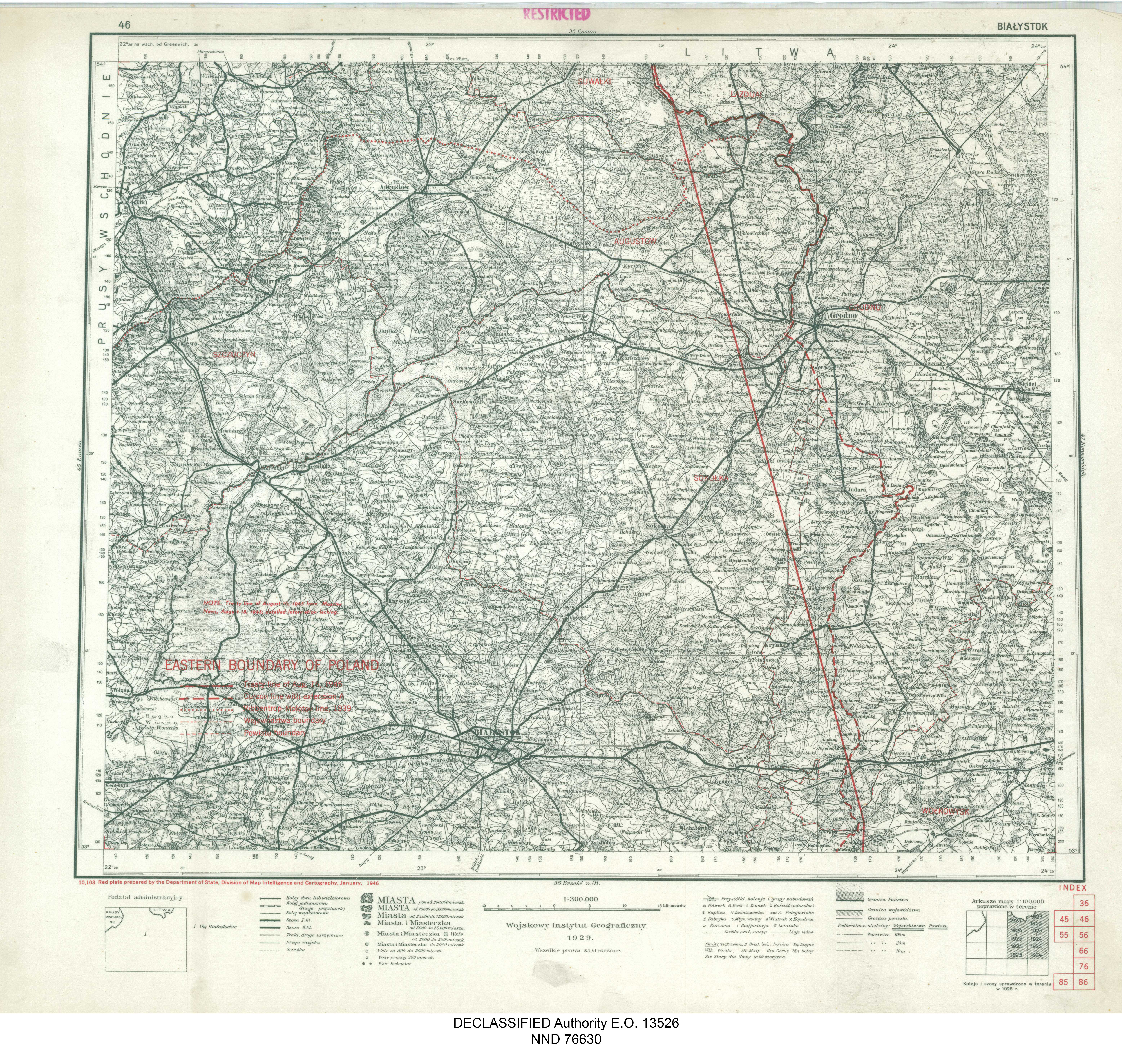
| map file | 10.103_E.BOUNDARY_POLAND_46_BIALYSTOK_nara_1946_305945_10103_01.jpg |
|---|---|
| file size | 7574666 (7.2 MB) |
| sheet number | 46 |
| map sheet scale | 1:300,000 |
| sheet title | EASTERN BOUNDARY OF POLAND - 46 BIAŁYSTOK |
| annotation | Treaty line of August 16, 1945; detailed information lacking |
| publication year | 1946 |
| publisher | Department of State, Division of Map Intelligence and Cartography |
| map/scan condition | good |
| scan resolution | 300 dpi |
| scan colors | rgb |
| file added | 2020-12-14 |
| entry edited | 2020-12-14 12:52:17 |
| from the collection of | National Archives and Records Administration (NARA) |
