


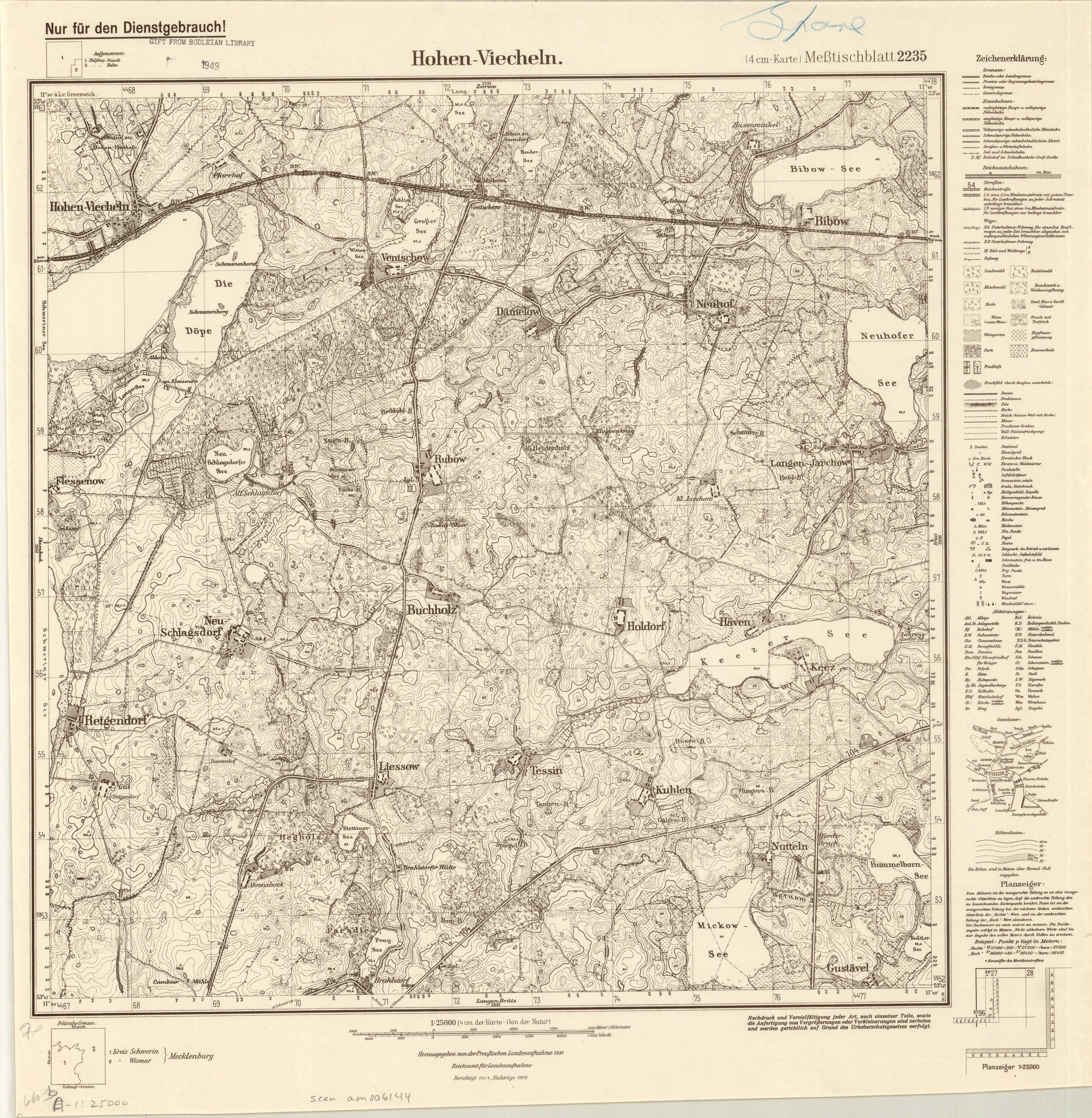
| map file | 2235_Hohen-Viecheln_VI.1936_agdm_28318.jpg |
|---|---|
| file size | 7682933 (7.3 MB) |
| sheet number | 2235 (846) |
| map sheet scale | 1:25,000 |
| sheet title | Hohen-Viecheln |
| publication year | 1936 |
| publisher | Reichsamt für Landesaufnahme |
| map/scan condition | good |
| scan resolution | 300 dpi |
| scan colors | rgb |
| file added | 2020-12-14 |
| entry edited | 2020-12-14 19:42:04 |
| from the collection of | American Geographical Society Library, University of Wisconsin-Milwaukee Libraries |
