


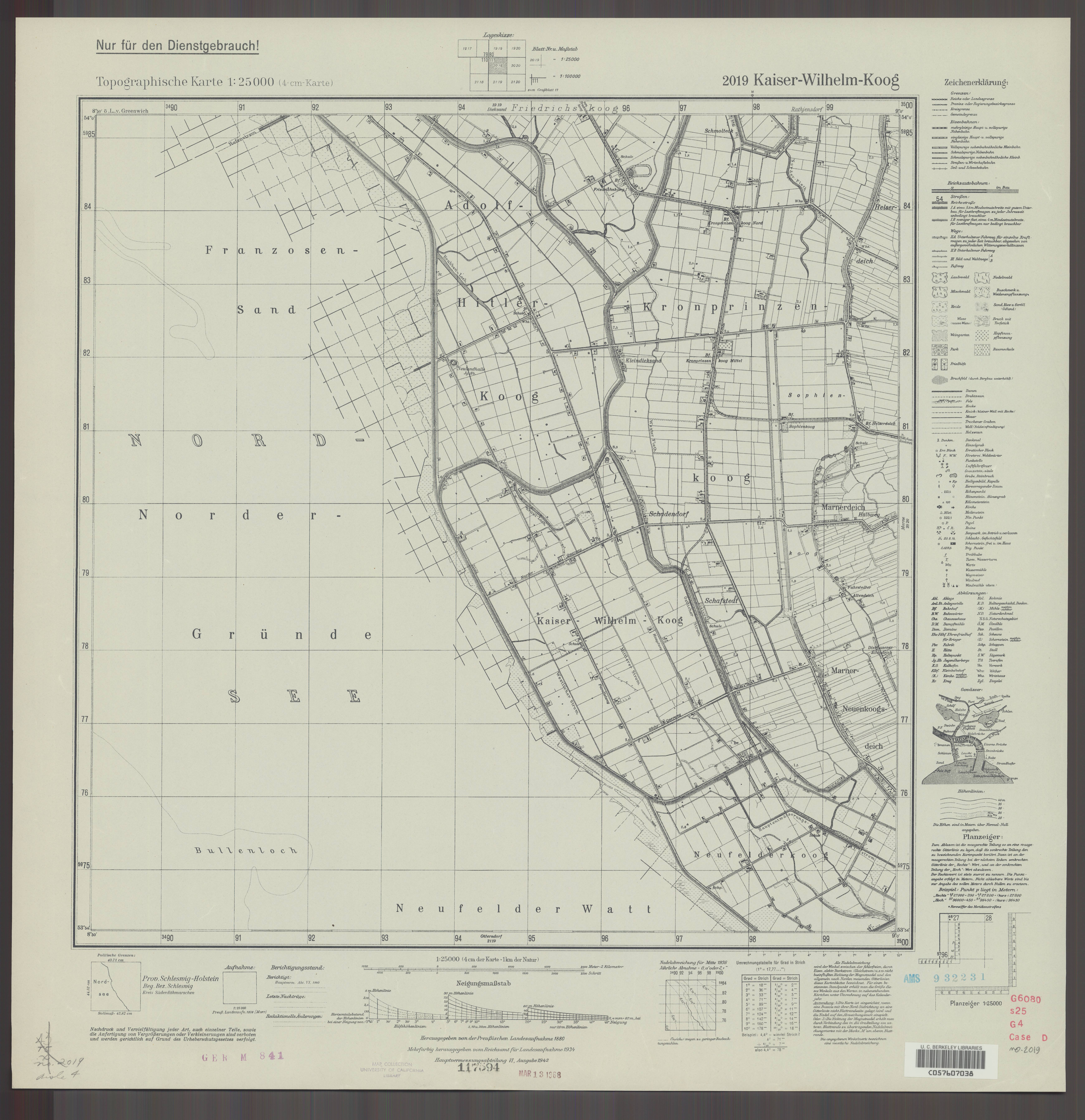
| map file | 2019_Kaiser-Wilhelm-Koog_1942_uniberk_C057607038.jpg |
|---|---|
| file size | 4377302 (4.2 MB) |
| sheet number | 2019 (650) |
| map sheet scale | 1:25,000 |
| sheet title | Kaiser-Wilhelm-Koog |
| publication year | 1942 |
| publisher | Reichsamt für Landesaufnahme |
| scan resolution | 300 dpi |
| scan colors | rgb |
| file added | 2021-04-10 |
| entry edited | 2021-04-11 10:46:55 |
| from the collection of | The University of California Berkeley Library |
| call no | dl id: C057607038 |
