


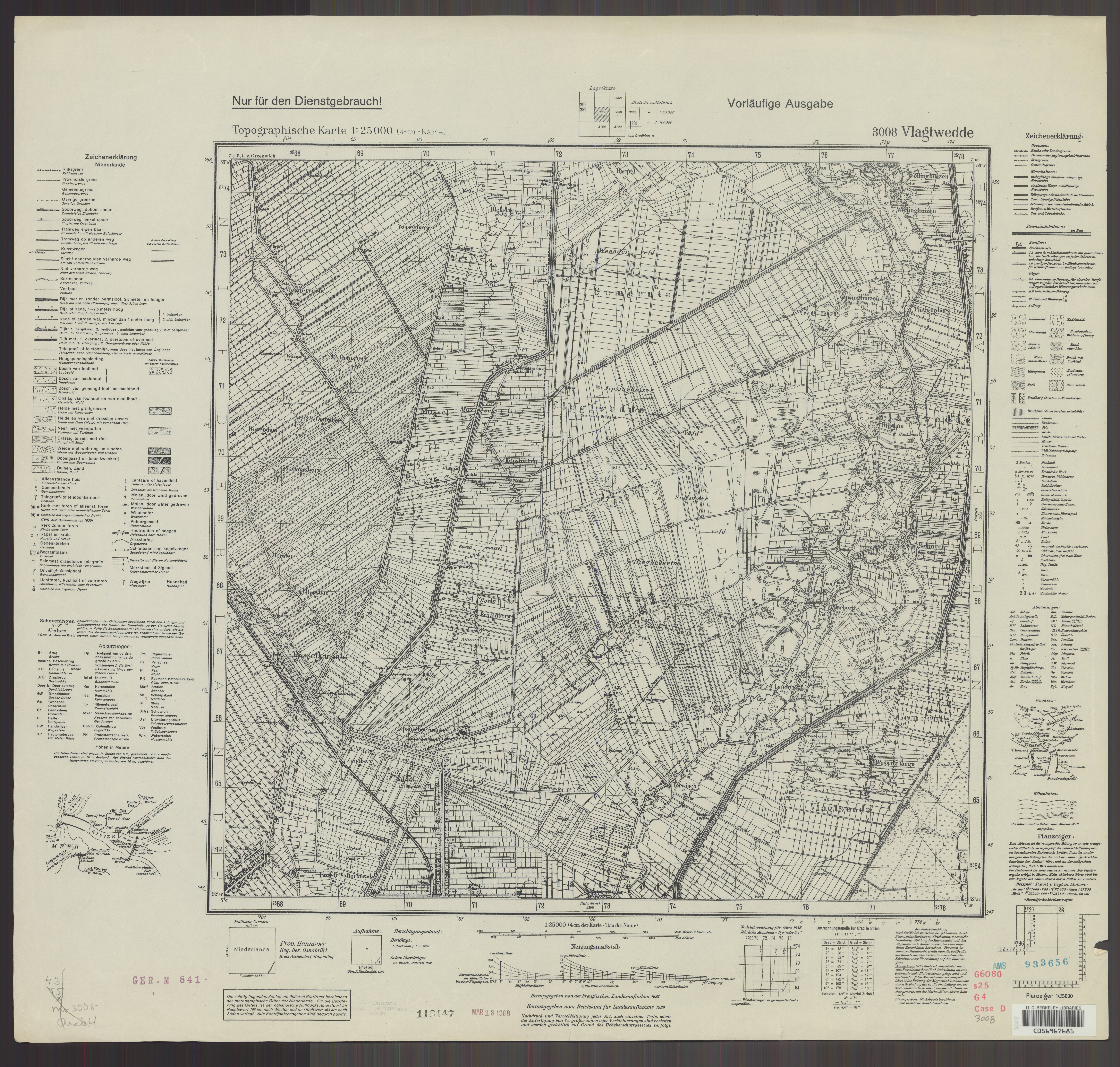
| map file | 3008_Vlagtwedde_1939_uniberk_C056967681.jpg |
|---|---|
| file size | 7947753 (7.6 MB) |
| sheet number | 3008 (1514) |
| map sheet scale | 1:25,000 |
| sheet title | 3008 Vlagtwedde |
| publication year | 1939 |
| publisher | Reichsamt für Landesaufnahme |
| map/scan condition | good |
| scan resolution | 300 dpi |
| scan colors | rgb |
| file added | 2021-04-11 |
| entry edited | 2021-04-11 11:39:21 |
| from the collection of | The University of California Berkeley Library |
| call no | C056967681 |
