


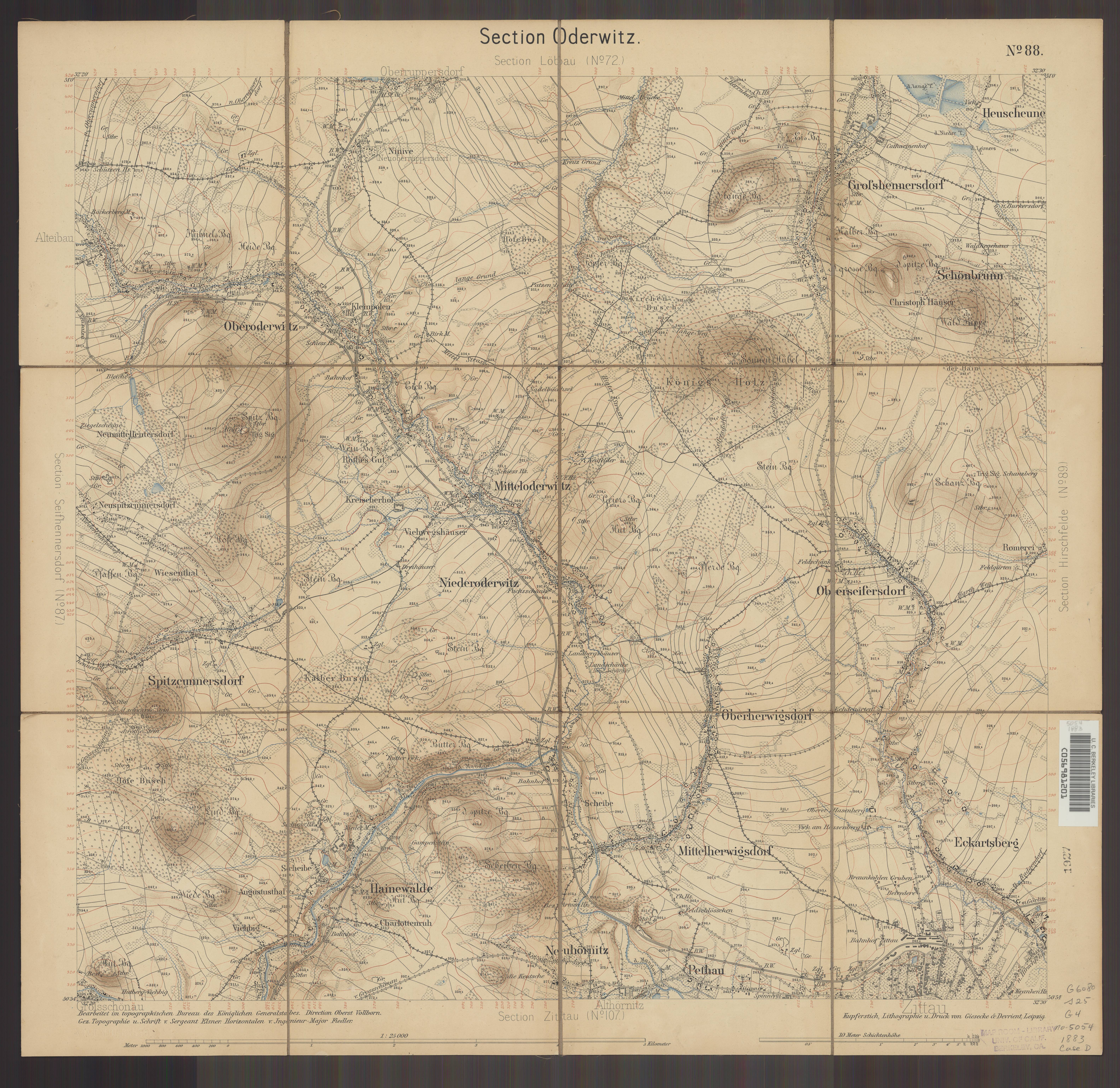
| map file | 5054_Sec._Oderwitz_ca_1870_uniberk_C056981201.jpg |
|---|---|
| file size | 6057712 (5.8 MB) |
| sheet number | 5054 |
| map sheet scale | 1:25,000 |
| sheet title | Sec. Oderwitz |
| publication year | ±1870 |
| publisher | Königlich-Preussische Landesaufnahme |
| map/scan condition | good |
| scan resolution | 300 dpi |
| scan colors | rgb |
| file added | 2021-04-11 |
| entry edited | 2021-04-11 23:02:25 |
| from the collection of | The University of California Berkeley Library |


