


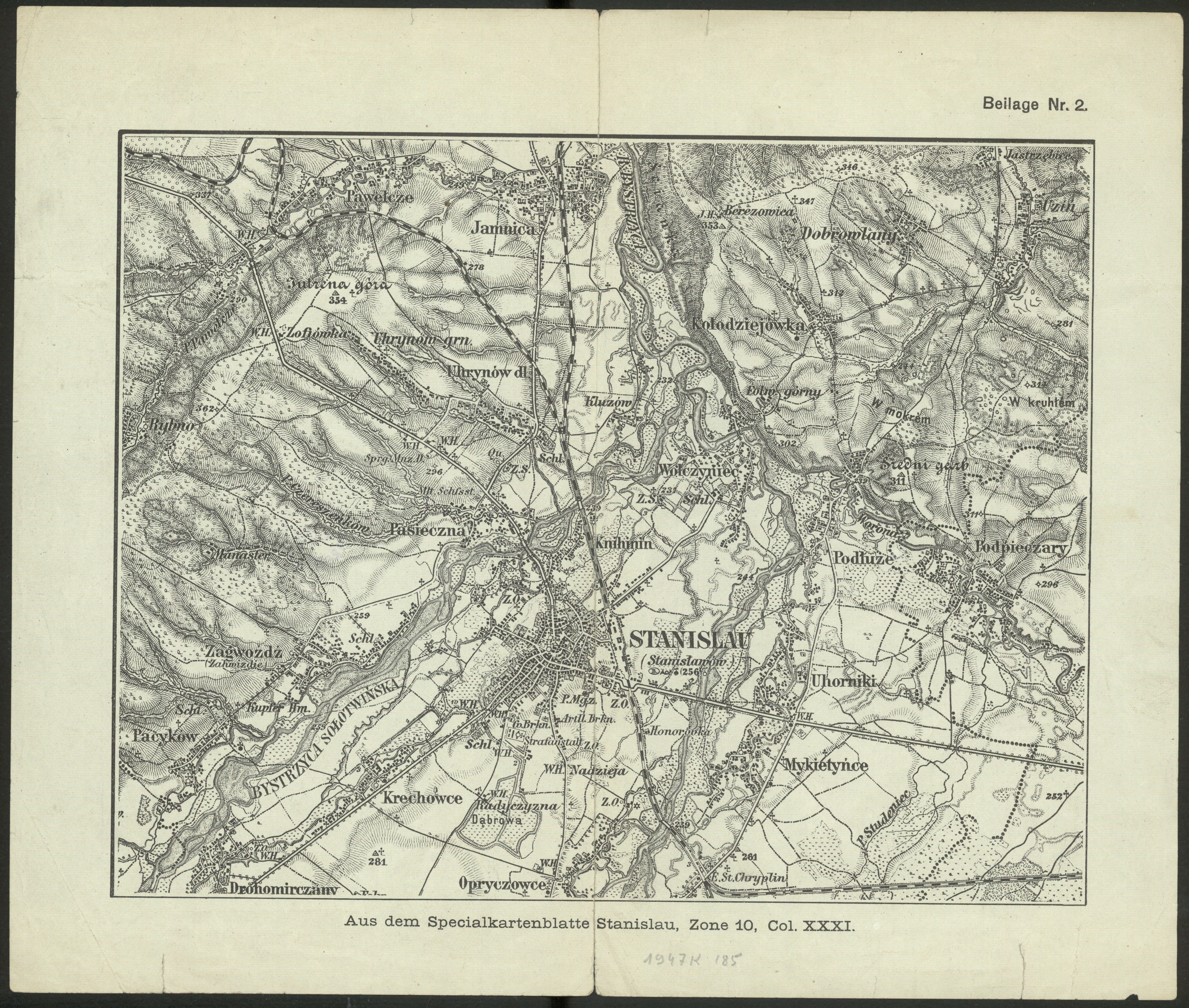
| map file | ZONE_10_COL_XXXI_STANISLAU_Ausschnitt_ca_1910_nn4gXmd_Sygn.ZZK_1_337.jpg |
|---|---|
| file size | 8133180 (7.8 MB) |
| sheet number | 10 XXXI (4473) |
| map sheet scale | 1:100,000 |
| sheet title | STANISLAU (Ausschnitt) |
| publication year | ±1910 |
| publisher | K.u.k. Militärgeographisches Institut in Wien |
| map/scan condition | good |
| scan resolution | 600 dpi |
| scan colors | rgb |
| file added | 2021-06-14 |
| entry edited | 2021-06-14 20:50:01 |
| from the collection of | Cyfrowa Biblioteka Narodowa POLONA |
| call no | ZZK 1 337 |
