


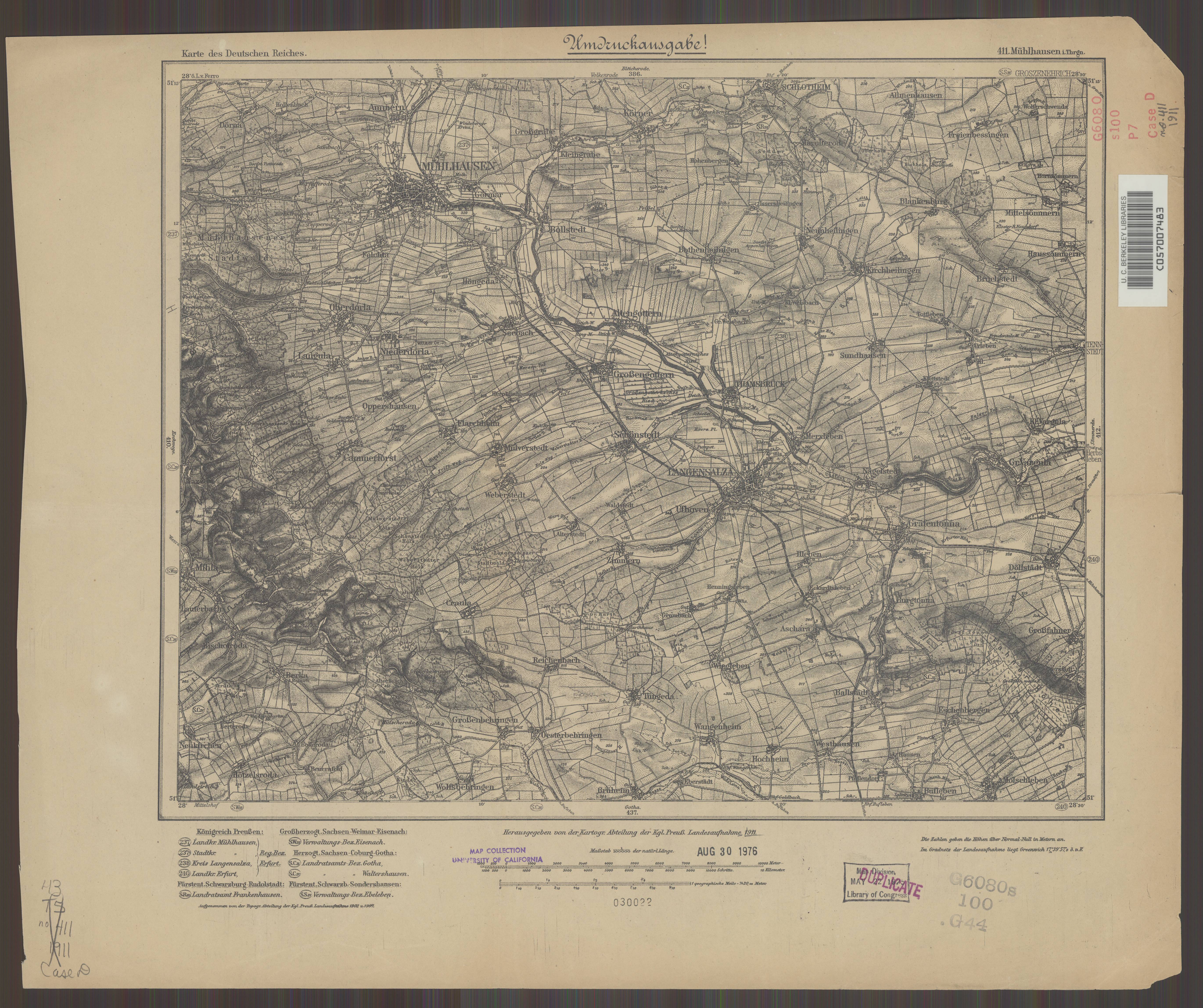
| map file | KDR100_411_Muehlhausen_i._Thrgn._1911_uniberk_C057007483.jpg |
|---|---|
| file size | 4180682 (4.0 MB) |
| sheet number | 411 |
| map sheet scale | 1:100,000 |
| sheet title | Mühlhausen i. Thrgn. |
| publication year | 1911 |
| publisher | Königlich-Preussische Landesaufnahme |
| scan resolution | 300 dpi |
| scan colors | rgb |
| file added | 2021-07-09 |
| entry edited | 2021-07-12 09:58:14 |
| from the collection of | The University of California Berkeley Library |
| call no | C057007483 |
