


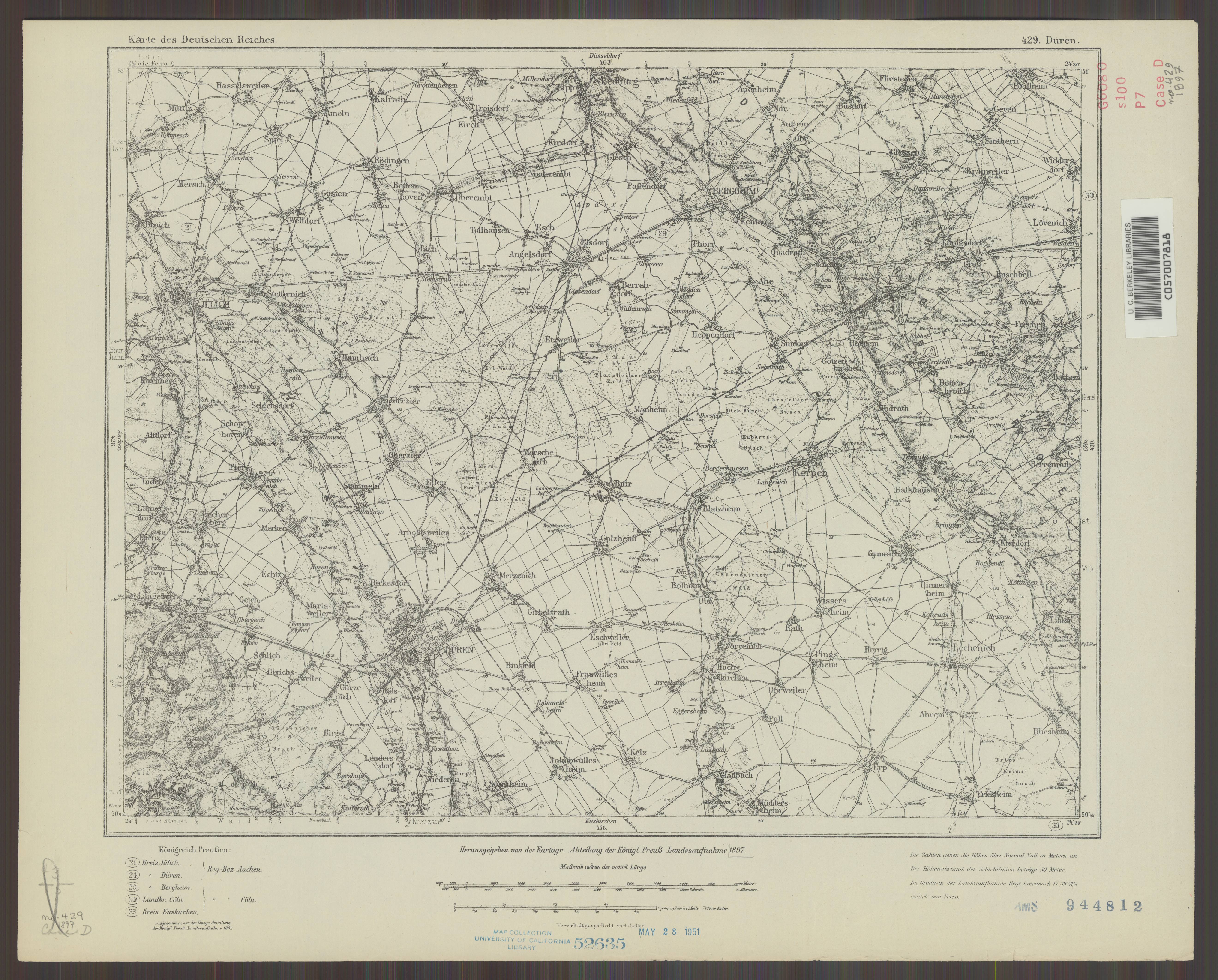
| map file | KDR100_429_Dueren_ca_1920_uniberk_C057007818.jpg |
|---|---|
| file size | 3038598 (2.9 MB) |
| sheet number | 429 |
| map sheet scale | 1:100,000 |
| sheet title | Düren |
| publication year | ±1920 |
| publisher | Königlich-Preussische Landesaufnahme |
| scan resolution | 300 dpi |
| scan colors | rgb |
| file added | 2021-07-09 |
| entry edited | 2021-07-12 09:58:18 |
| from the collection of | The University of California Berkeley Library |
| call no | C057007818 |
