


| map file | KDR100_447_Hirschberg_i._Riesengeb._472_Schneekoppe_1930_uniberk_C057008326.jpg |
|---|---|
| file size | 4719792 (4.5 MB) |
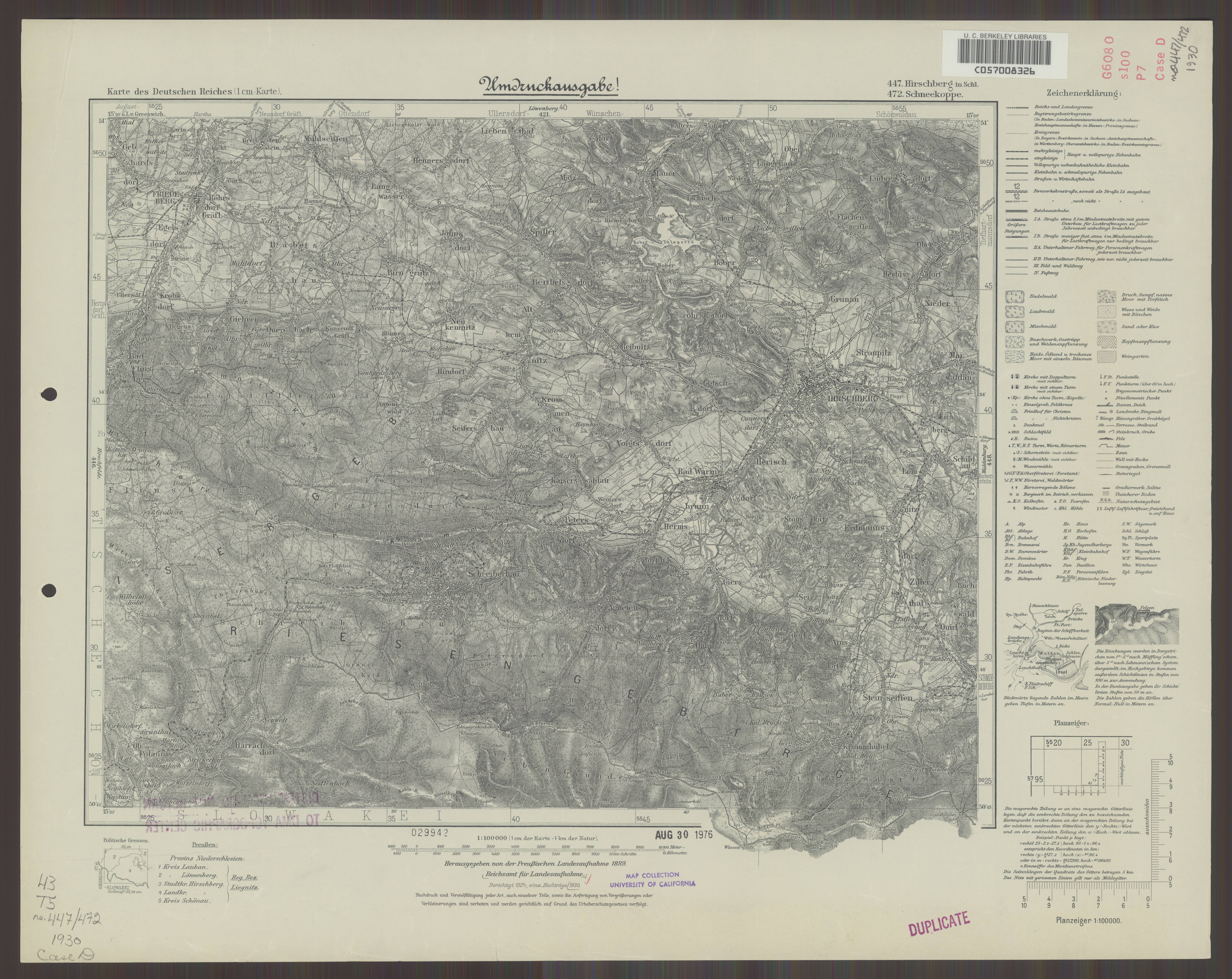
| sheet number | 447 |
| map sheet scale | 1:100,000 |
| sheet title | Hirschberg i. Riesengeb, Schneekoppe |
| publication year | 1930 |
| publisher | Reichsamt für Landesaufnahme |
| map/scan condition | good |
| scan resolution | 300 dpi |
| scan colors | rgb |
| file added | 2021-07-12 |
| entry edited | 2021-07-12 13:21:49 |
| from the collection of | The University of California Berkeley Library |
| call no | C057008326 |
