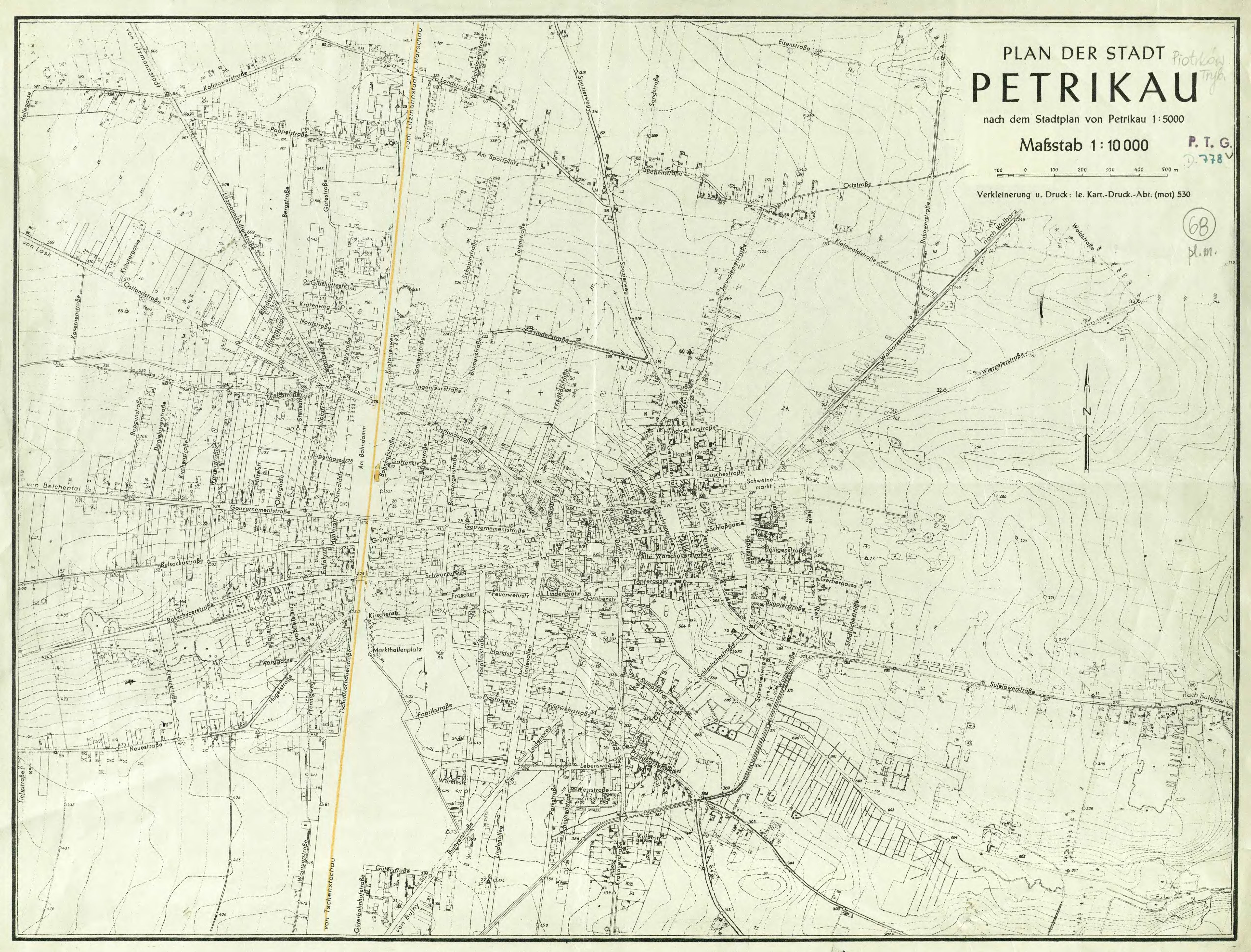
| map file | PLAN_DER_STADT_PETRIKAU_10K_c.1944_WA51_25142_PTG-D778-r1944.jpg |
|---|
| file size | 3491080 (3.3 MB) |
|---|
| sheet number | Piotrków Trybunalski |
|---|
| map sheet scale | 1:10,000 |
|---|
| sheet title | PLAN DER STADT PETRIKAU (2) |
|---|
| modern name | PIOTRKÓW TRYBUNALSKI |
|---|
| publication year | ±1944 |
|---|
| publisher | Oberkommando des Heeres / Generalstab |
|---|
| map/scan condition | average |
|---|
| scan resolution | 300 dpi |
|---|
| scan colors | rgb |
|---|
| remarks | Ie Kart.-Druck.-Abt. (mot) 530 |
|---|
| file added | 2021-07-14 |
|---|
| entry edited | 2021-07-14 17:41:16 |
|---|
| from the collection of | Repozytorium Cyfrowe Instytutów Naukowych |
|---|
| call no | WA51 25142 PTG-D778-r1944 |
|---|


