


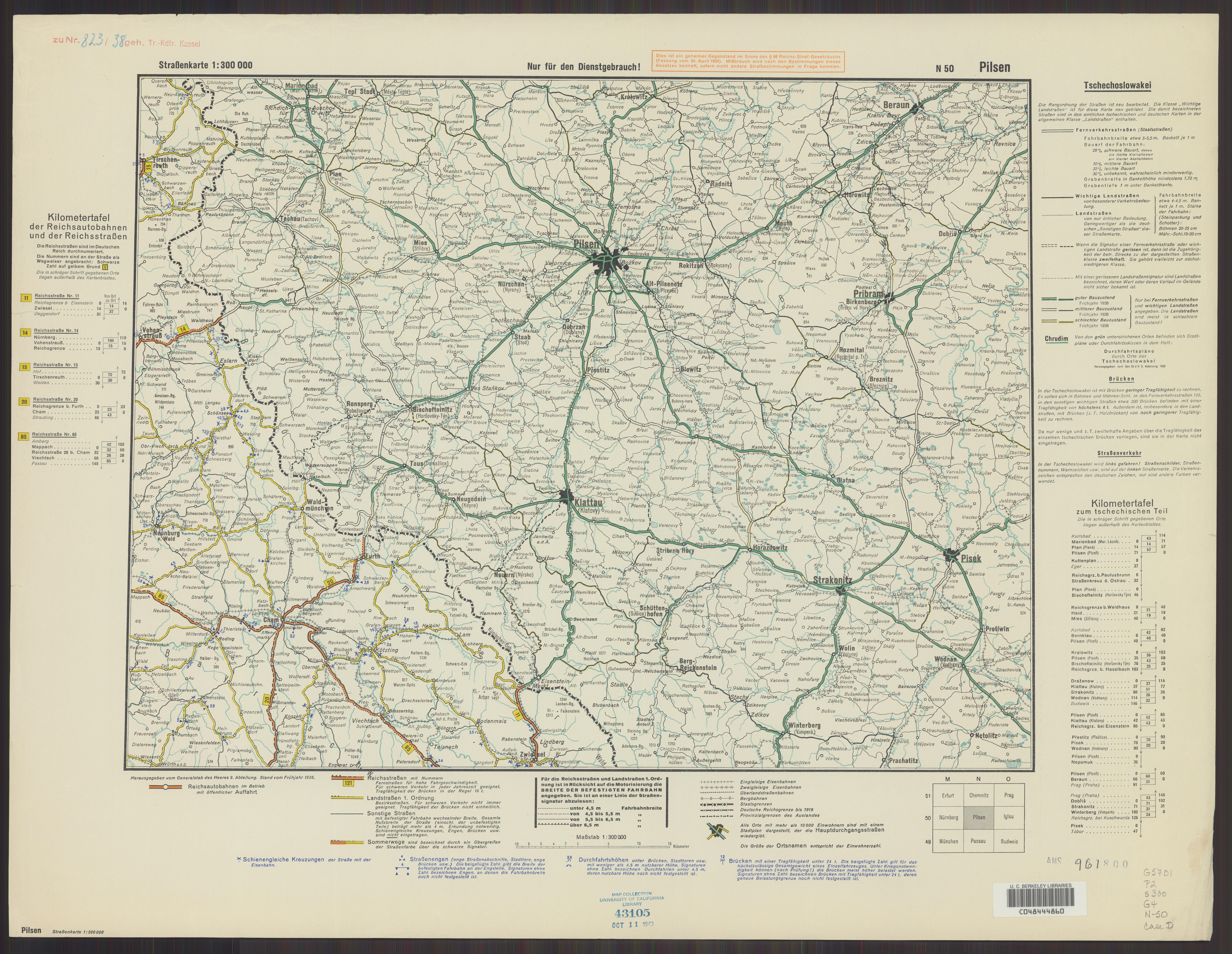
| map file | N50_Pilsen_Strassenkarte_1938_uniberk_MR1005.jpg |
|---|---|
| file size | 9485979 (9.0 MB) |
| sheet number | N50 |
| map sheet scale | 1:300,000 |
| sheet title | Pilsen [Straßenkarte] |
| publication year | 1938 |
| publisher | Reichsamt für Landesaufnahme |
| scan resolution | 300 dpi |
| scan colors | rgb |
| file added | 2021-12-13 |
| entry edited | 2021-12-13 17:28:37 |
| from the collection of | The University of California Berkeley Library |
| call no | MR1005 |
