


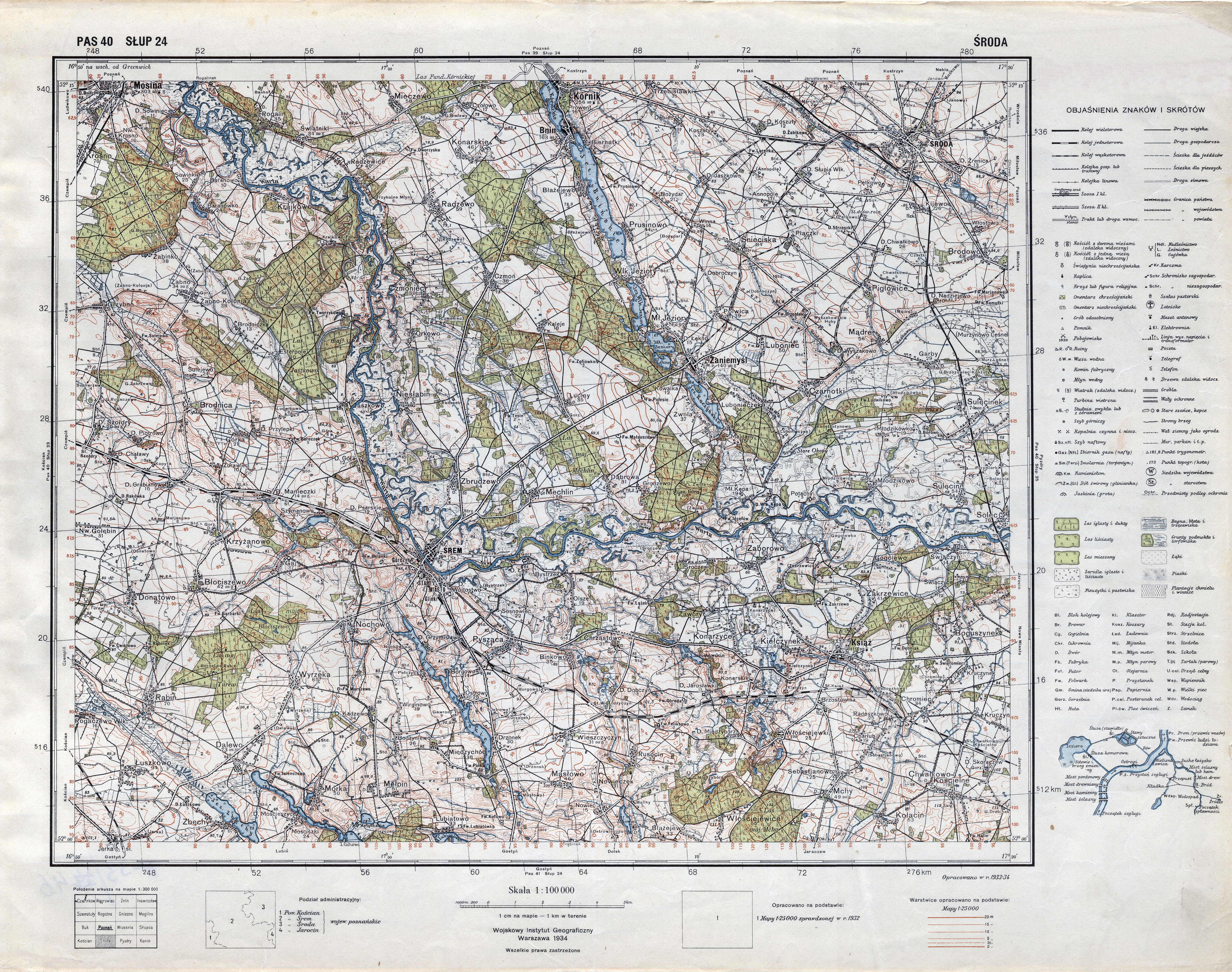
| map file | P40_S24_SRODA_1934_2_300dpi.jpg |
|---|---|
| file size | 7992480 (7.6 MB) |
| sheet number | Row 40 Col 24 (A40 B24) |
| sheet title | ŚRODA (2) |
| modern name | Środa Wielkopolska |
| publication year | 1934 |
| publisher | Wojskowy Instytut Geograficzny |
| map type | Typ IV |
| description | A type of 1931. The QS grid each 2 kilometres, zero meridian Greenwich. A four-colour map (basic content in black, waters in blue, forests in green, contours in brown). Additional colours: red for tourist routes, violet for shadowing. |
| map/scan condition | good |
| scan resolution | 300 dpi |
| scan colors | rgb |
| file added | 2015-09-25 |
| entry edited | 2011-12-23 16:13:30 |
| from the collection of | Archiwum Map WIG |
