


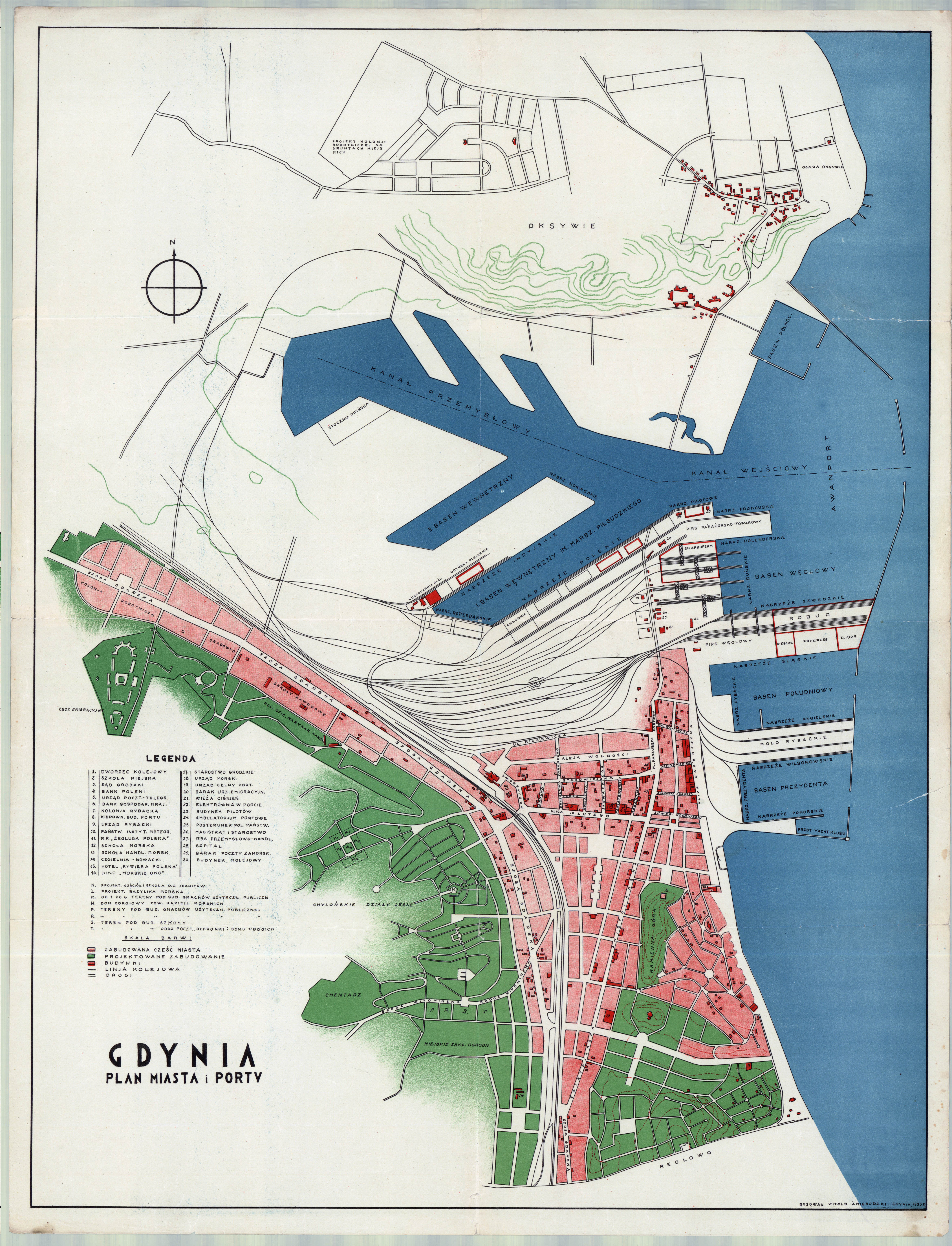
| map file | GDYNIA_PLAN_MIASTA_I_PORTU_1930.jpg |
|---|---|
| file size | 4800000 (4.6 MB) |
| sheet number | Gdynia |
| sheet title | GDYNIA PLAN MIASTA I PORTU |
| modern name | Gdynia |
| alternative name | Gdingen |
| publication year | 1930 |
| scan resolution | 300 dpi |
| remarks | Data wydania / publication date : 1930 Wydawca / publisher : --- Kolory / colours : kolor / color Skala / scale : ? Opis / description : rysowal Witold Zmigrodzki |
| file added | 2012-10-14 |
| entry edited | 2012-10-14 23:40:29 |
| from the collection of | Archiwum Map WIG |
