


| map file | 4571_OKORMEZO_IWG_1921_300dpi.jpg |
|---|---|
| file size | 8184638 (7.8 MB) |
| sheet number | Row 54 Col 37 (A54 B37) |
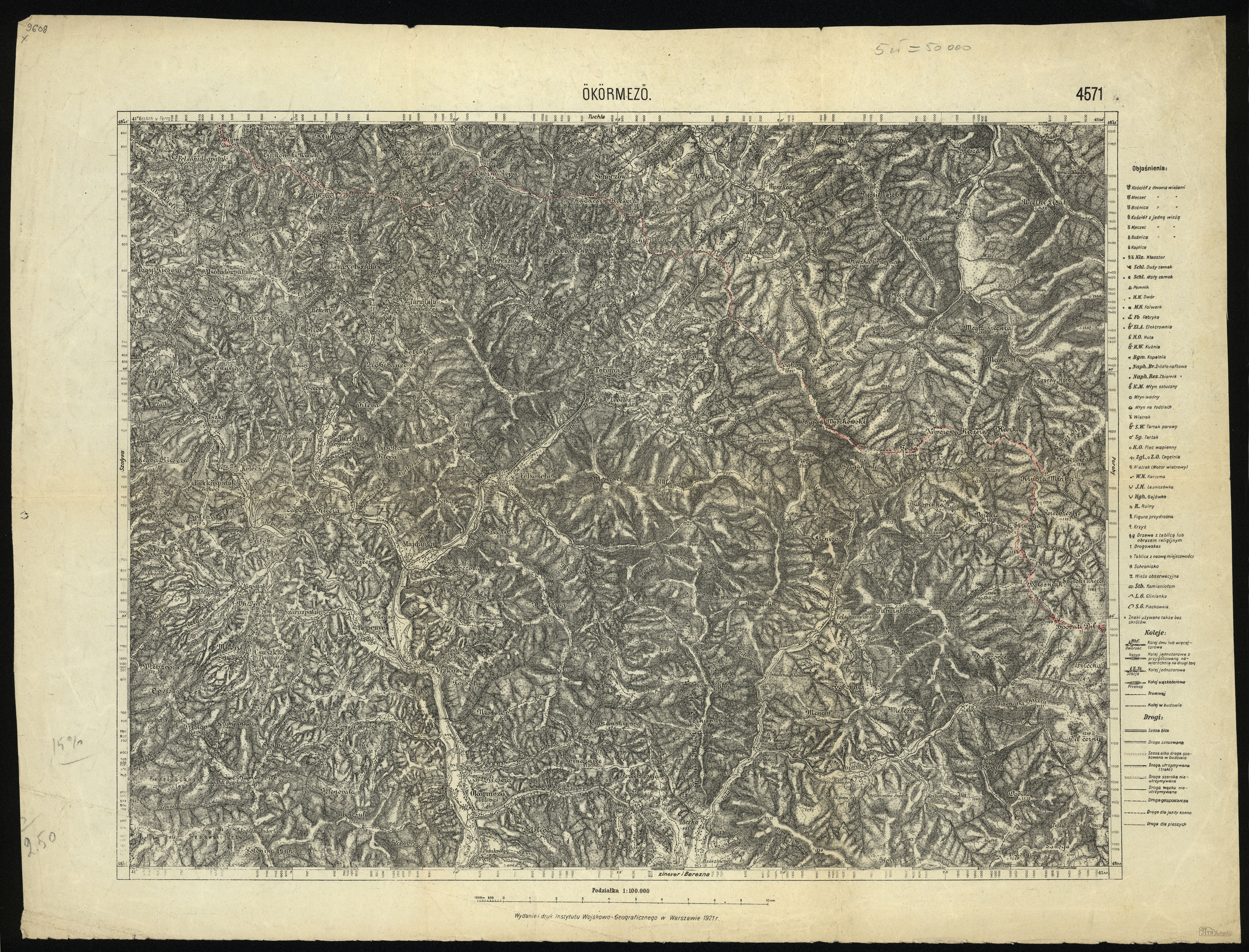
| sheet title | ÖKÖRMEZÖ |
| modern name | Міжгір'я |
| alternative name | Wołowe Pole |
| alternative name 2 | Межгорье |
| annotation | Ökörmezö |
| publication year | 1921 |
| publisher | Wojskowy Instytut Geograficzny |
| scan resolution | 300 dpi |
| file added | 2012-11-21 |
| entry edited | 2012-11-21 08:47:03 |
| from the collection of | Piotr Kamiński |
