


| map file | Stielers_Handatlas_1891_07.jpg |
|---|---|
| file size | 5421013 (5.2 MB) |
| sheet number | 07 |
| map sheet scale | 1:40,000,000 |
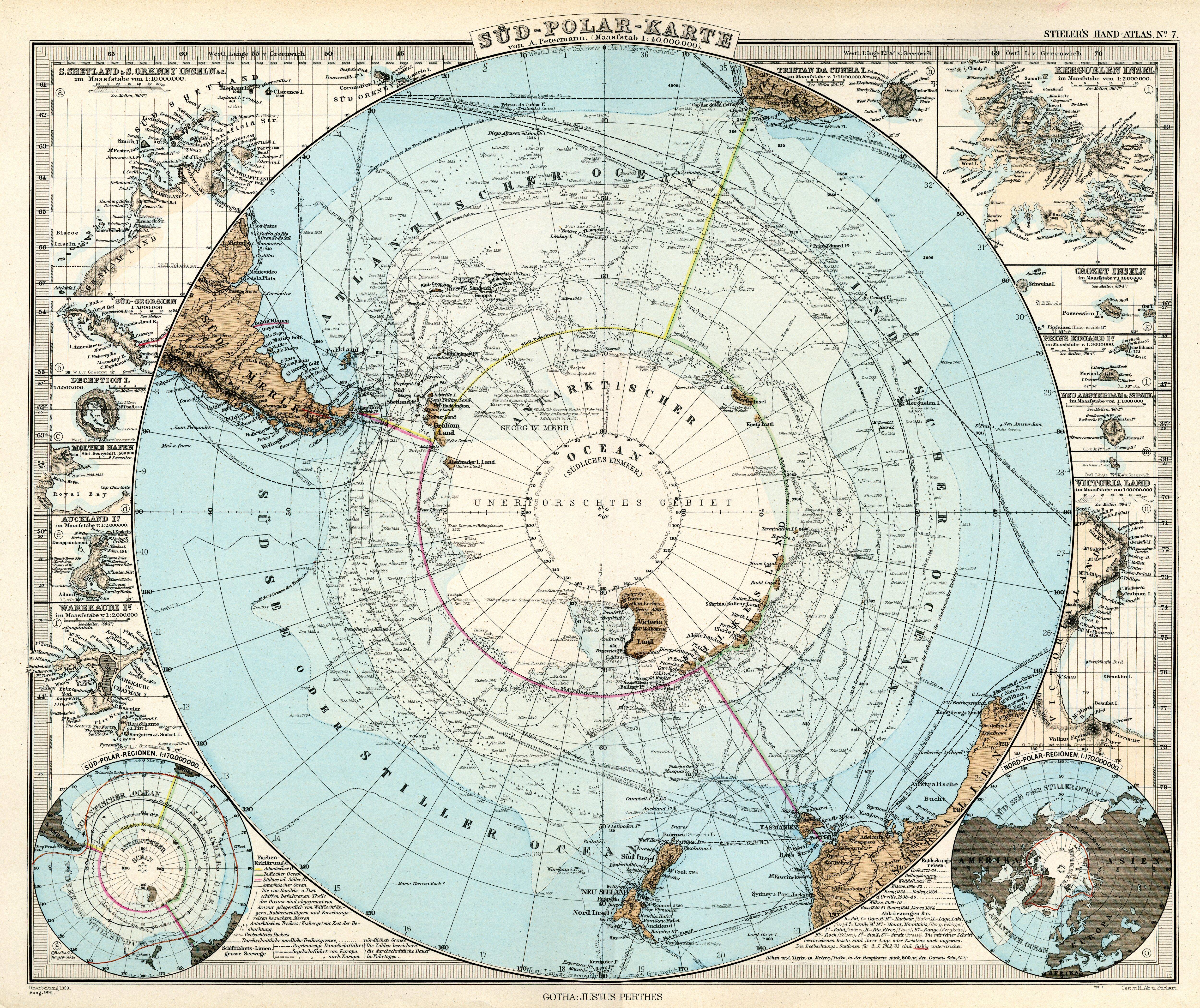
| sheet title | Süd-Polar-Karte von A. Petermann |
| modern name | Mapa bieguna południowego aut. A. Petermann |
| publication year | 1891 |
| scan resolution | 300 dpi |
| file added | 2013-05-04 |
| entry edited | 2013-05-05 12:19:30 |
| from the collection of | Wikimedia Commons |
