


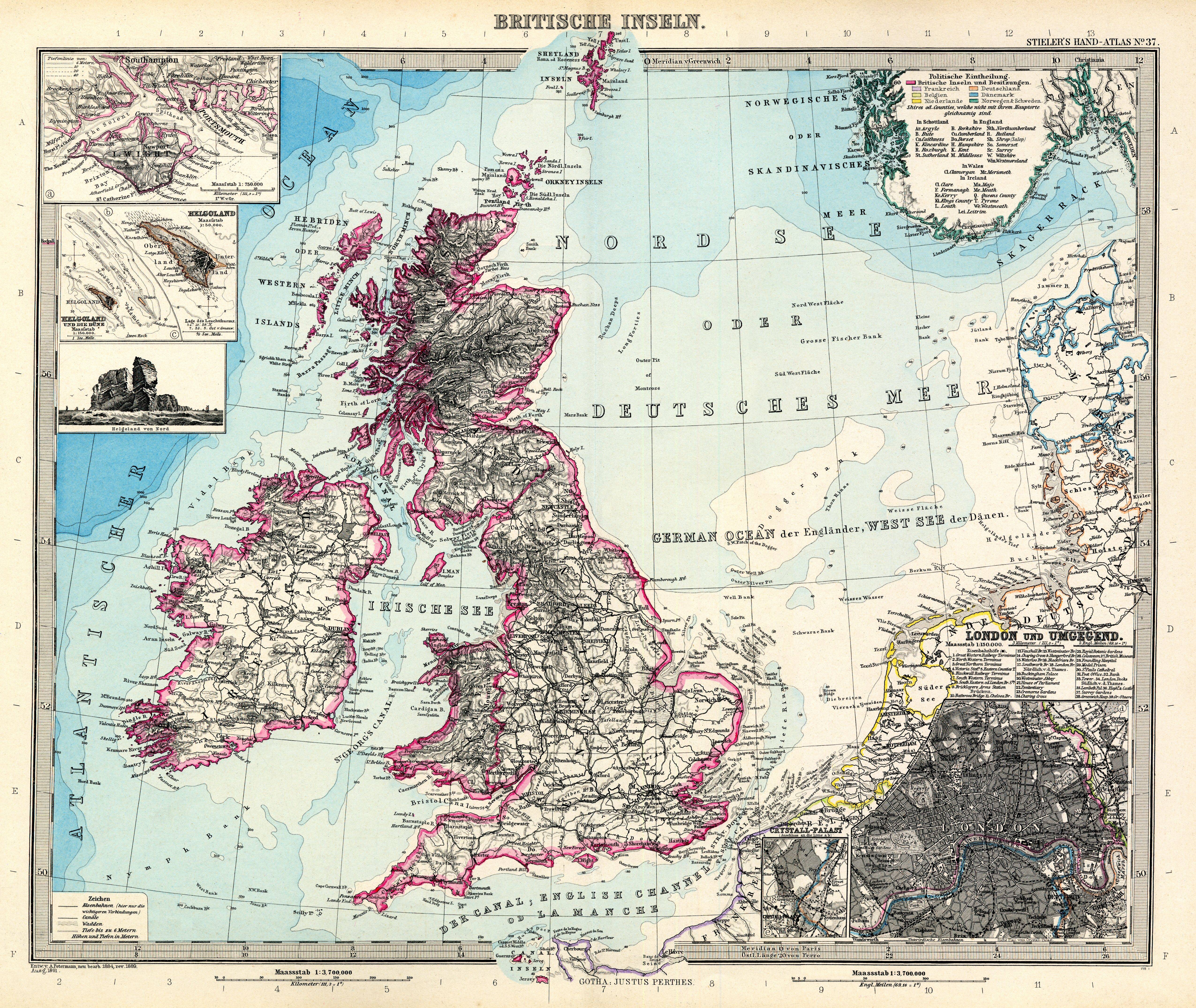
| map file | Stielers_Handatlas_1891_37.jpg |
|---|---|
| file size | 5978149 (5.7 MB) |
| sheet number | 37 |
| map sheet scale | 1:3,700,000 |
| sheet title | Britische Inseln |
| modern name | Wyspy Brytyjskie |
| publication year | 1891 |
| scan resolution | 300 dpi |
| remarks | Dodatkowe małe mapy na tym arkuszu: London und Umgegend 1:150000; Crystall-Palast (Aschluss an die Linie a b) |
| file added | 2013-05-04 |
| entry edited | 2013-05-05 12:19:31 |
| from the collection of | Wikimedia Commons |
