


| map file | Stielers_Handatlas_1891_42.jpg |
|---|---|
| file size | 6846205 (6.5 MB) |
| sheet number | 42 |
| map sheet scale | 1:1,500,000 |
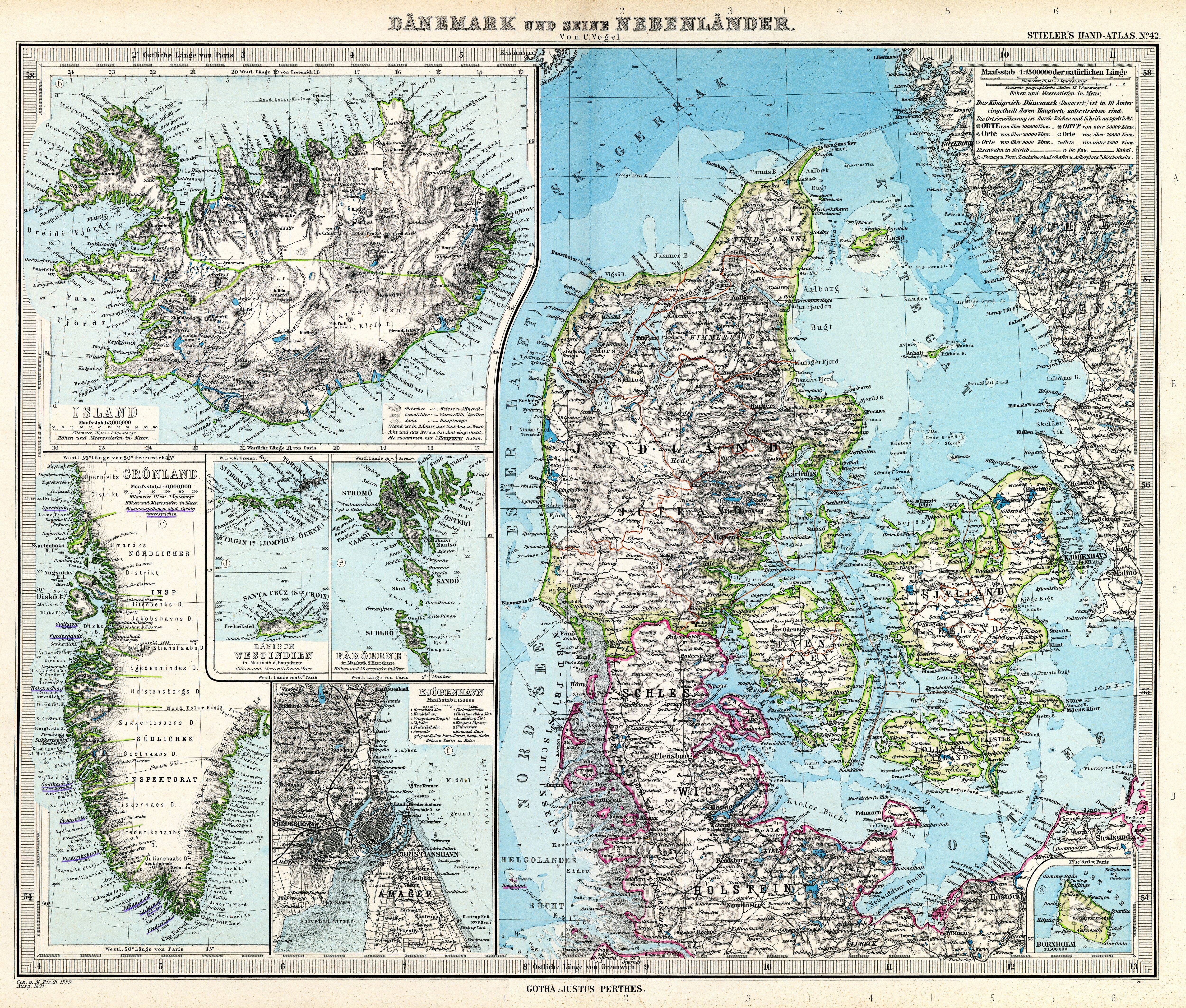
| sheet title | Dänmark und seine Nebenländer |
| modern name | Dania i kraje z nią związane |
| publication year | 1891 |
| scan resolution | 300 dpi |
| remarks | Dodatkowe małe mapy na tym arkuszu: Island 1:2 000000; Grönland 1:10000000; Dänisch Westindien 1:1 500000; Färöerne 1:1 500000 |
| file added | 2013-05-04 |
| entry edited | 2013-05-05 12:19:31 |
| from the collection of | Wikimedia Commons |
