


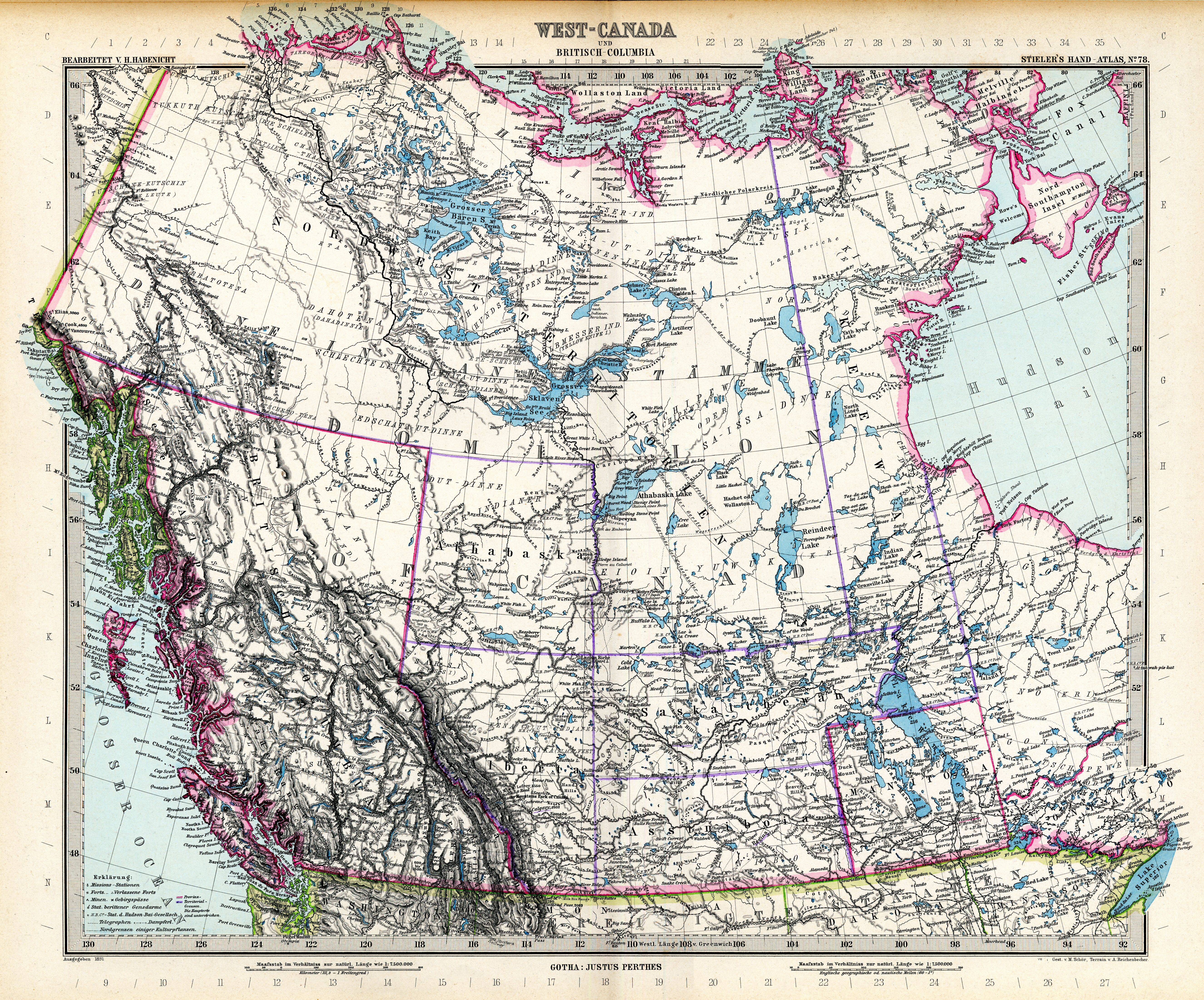
| map file | Stielers_Handatlas_1891_78.jpg |
|---|---|
| file size | 6880983 (6.6 MB) |
| sheet number | 78 |
| map sheet scale | 1:7,500,000 |
| sheet title | West-Canada und Britisch Columbia |
| modern name | Zachodnia Kanada i Kolumbia Brytyjska |
| publication year | 1891 |
| scan resolution | 300 dpi |
| file added | 2013-05-04 |
| entry edited | 2013-05-05 12:19:32 |
| from the collection of | Wikimedia Commons |
