


| map file | Stielers_Handatlas_1891_81.jpg |
|---|---|
| file size | 6021314 (5.7 MB) |
| sheet number | 81 |
| map sheet scale | 1:7,500,000 |
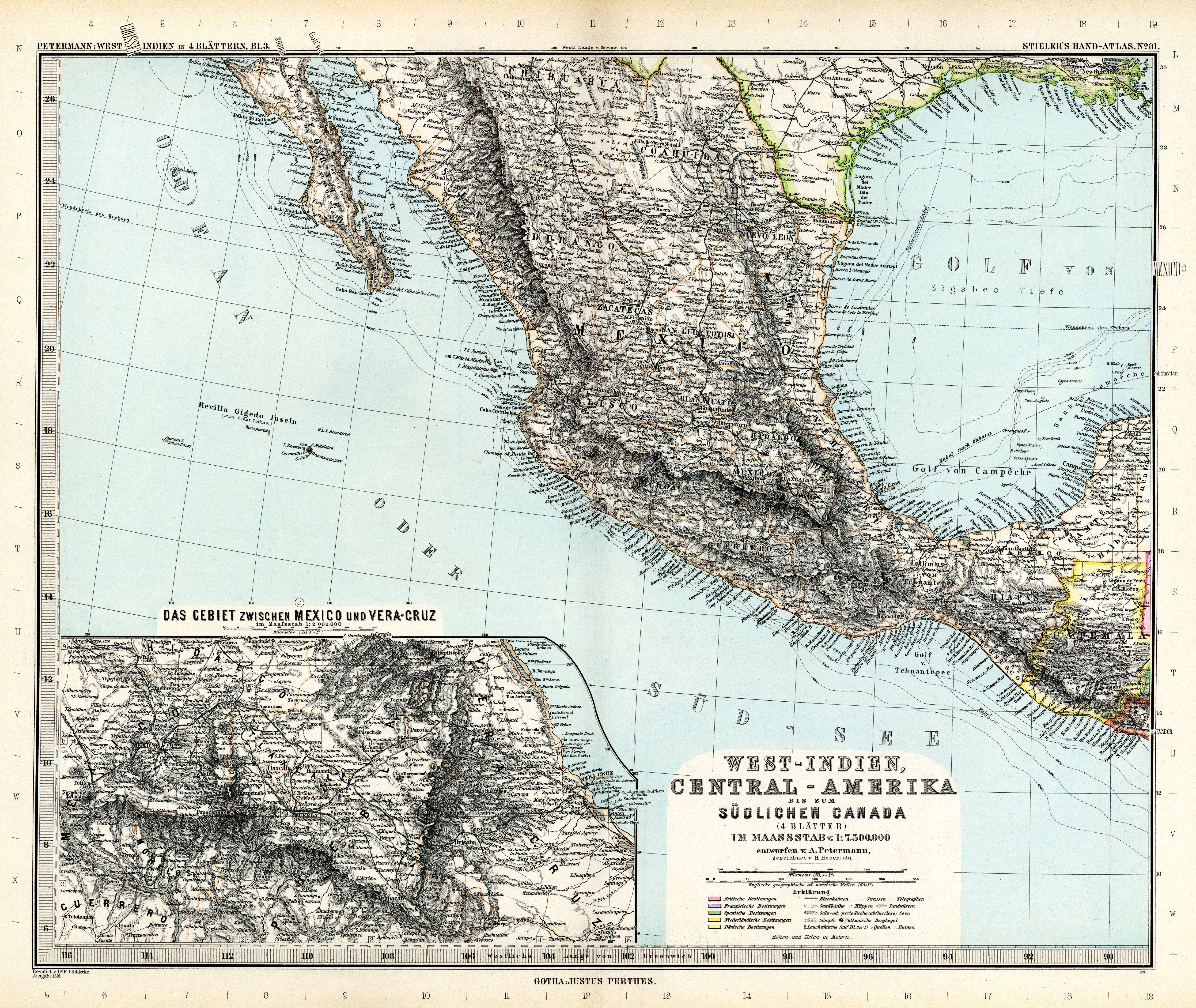
| sheet title | West-Indien, Central-Amerika bus zum südlichen Canada (4 Blättern) entworfen v.A.Petermann, Blatt 3 |
| modern name | Indie Zachodnie, Ameryka Środkowa aż do południowej Kanady (4 arkusze) wykreślona przez A. Petermanna, arkusz 3 |
| annotation | Obejmuje USA., Amerykę Środkową i Karaiby / Covers the USA, Central America and the Carribeans |
| publication year | 1891 |
| scan resolution | 300 dpi |
| remarks | Dodatkowe małe mapy na tym arkuszu: Das Gebiet zwischen Mexico und Vera-Cruz 1:2000000 |
| file added | 2013-05-04 |
| entry edited | 2013-05-05 12:19:32 |
| from the collection of | Wikimedia Commons |
