


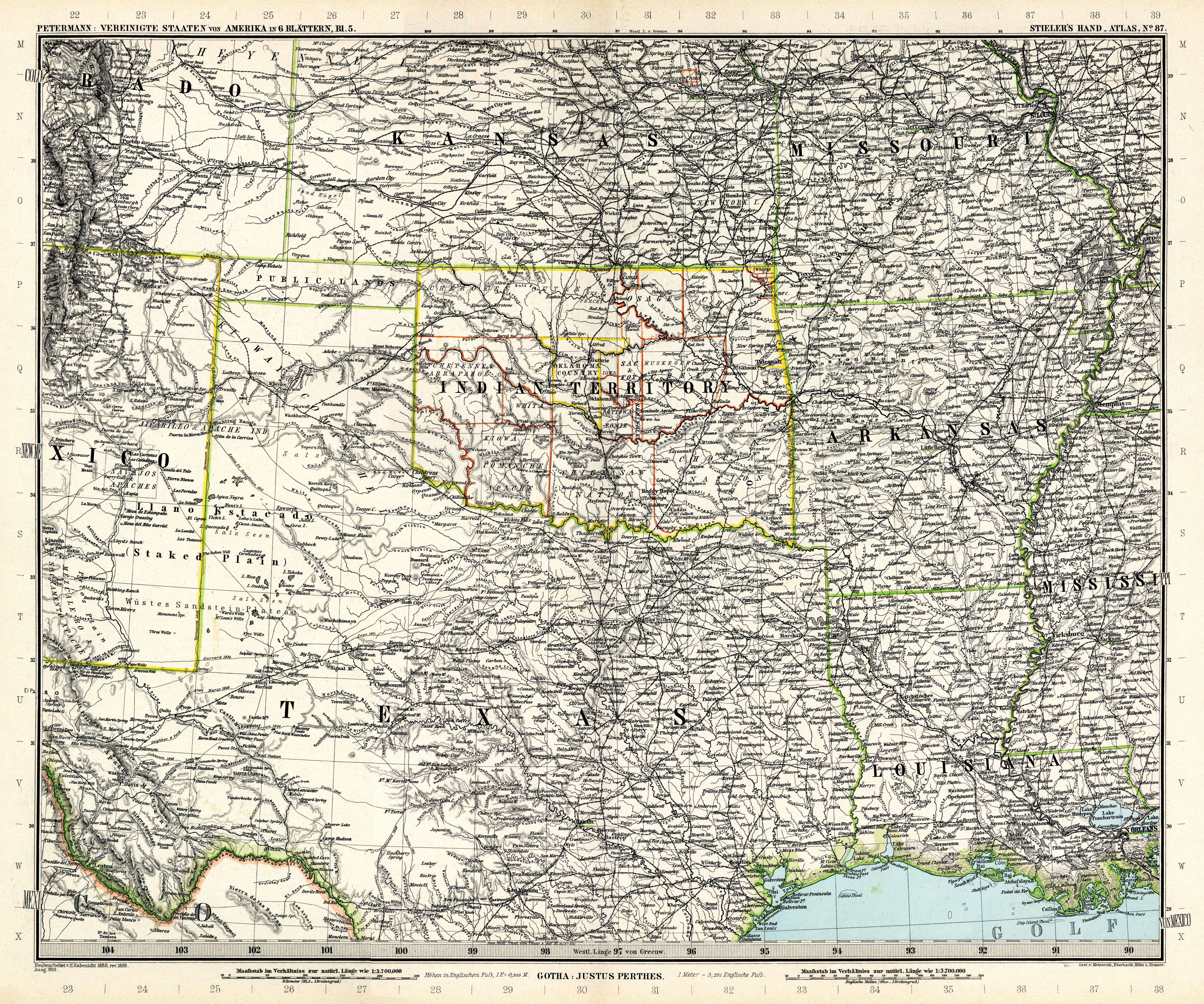
| map file | Stielers_Handatlas_1891_87.jpg |
|---|---|
| file size | 7301764 (7.0 MB) |
| sheet number | 87 |
| map sheet scale | 1:3,700,000 |
| sheet title | Die Vereinigten Staaten von Amerika in 6 Blättern, von A. Petermann, Blatt 5 |
| modern name | Stany Zjednoczone Ameryki w 6 arkuszach aut. A. Petermann, arkusz 5 |
| publication year | 1891 |
| scan resolution | 300 dpi |
| remarks | Dodatkowe małe mapy na tym arkuszu: Der Niagara-Fall und seine Umgebung 1:100000; Der südliche Teil von Florida im Anschluss am Blatt 88; Der südliche Teil von Texas im Anschluss an Blatt 87 |
| file added | 2013-05-04 |
| entry edited | 2013-05-05 12:19:32 |
| from the collection of | Wikimedia Commons |
