


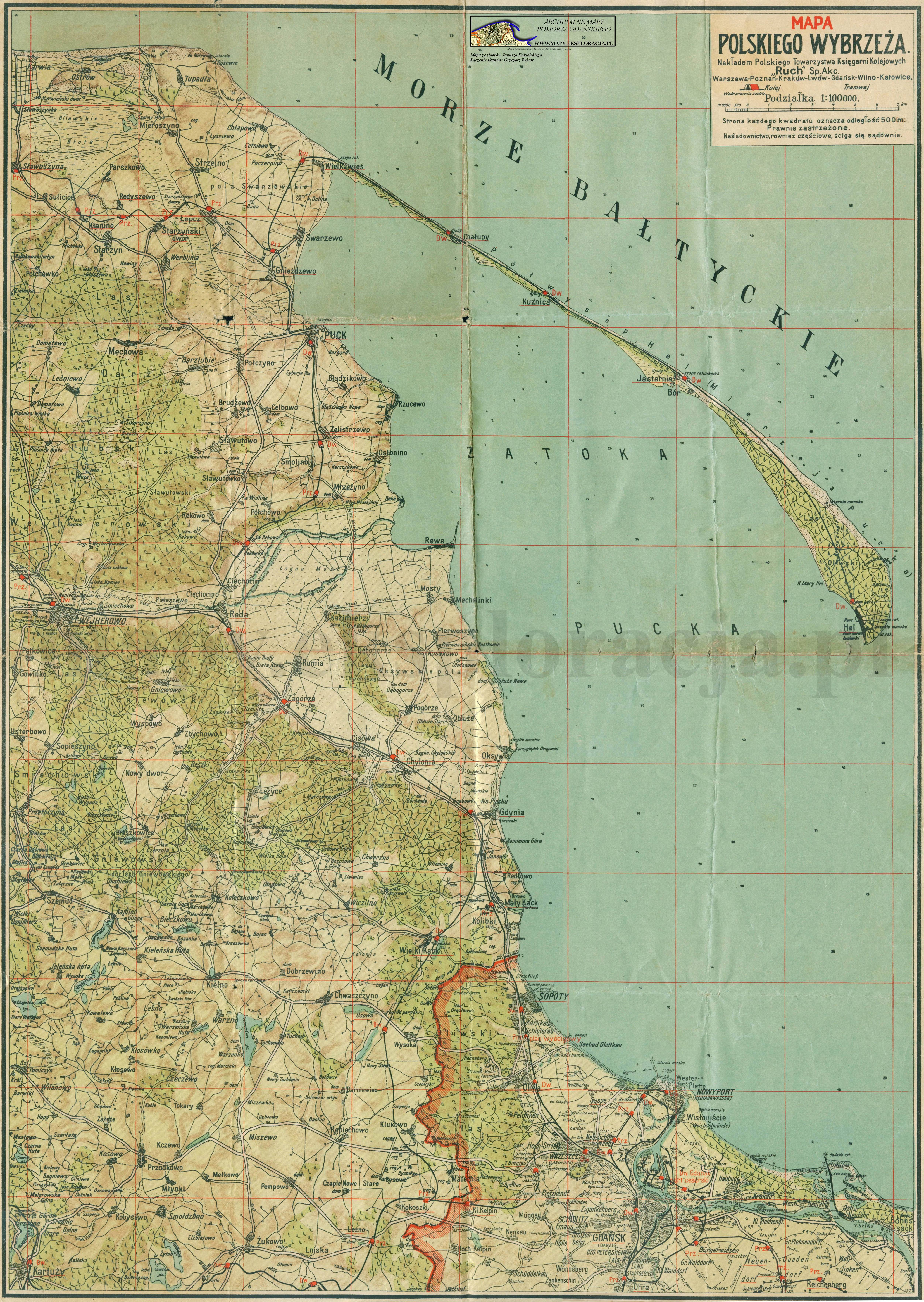
| map file | Mapa_polskiego_wybrzeza_wyd_Ruch.jpg |
|---|---|
| file size | 5823468 (5.6 MB) |
| sheet number | POMORZE |
| map sheet scale | 1:100,000 |
| sheet title | Mapa polskiego wybrzeża |
| modern name | Map of the Polish seaside |
| annotation | wyd. Ruch, 1:150 000 |
| publication year | ±1930 |
| scan resolution | 300 dpi |
| remarks | Nakładem Polskiego Towarzystwa Księgarni Kolejowych "RUCH" Sp.Akc. Warszawa-Poznań-Kraków-Lwów-Gdańsk-Wilno-Katowice |
| file added | 2013-05-14 |
| entry edited | 2013-05-14 20:17:29 |
| from the collection of | Archiwum Map Pomorza Gdańskiego |
