


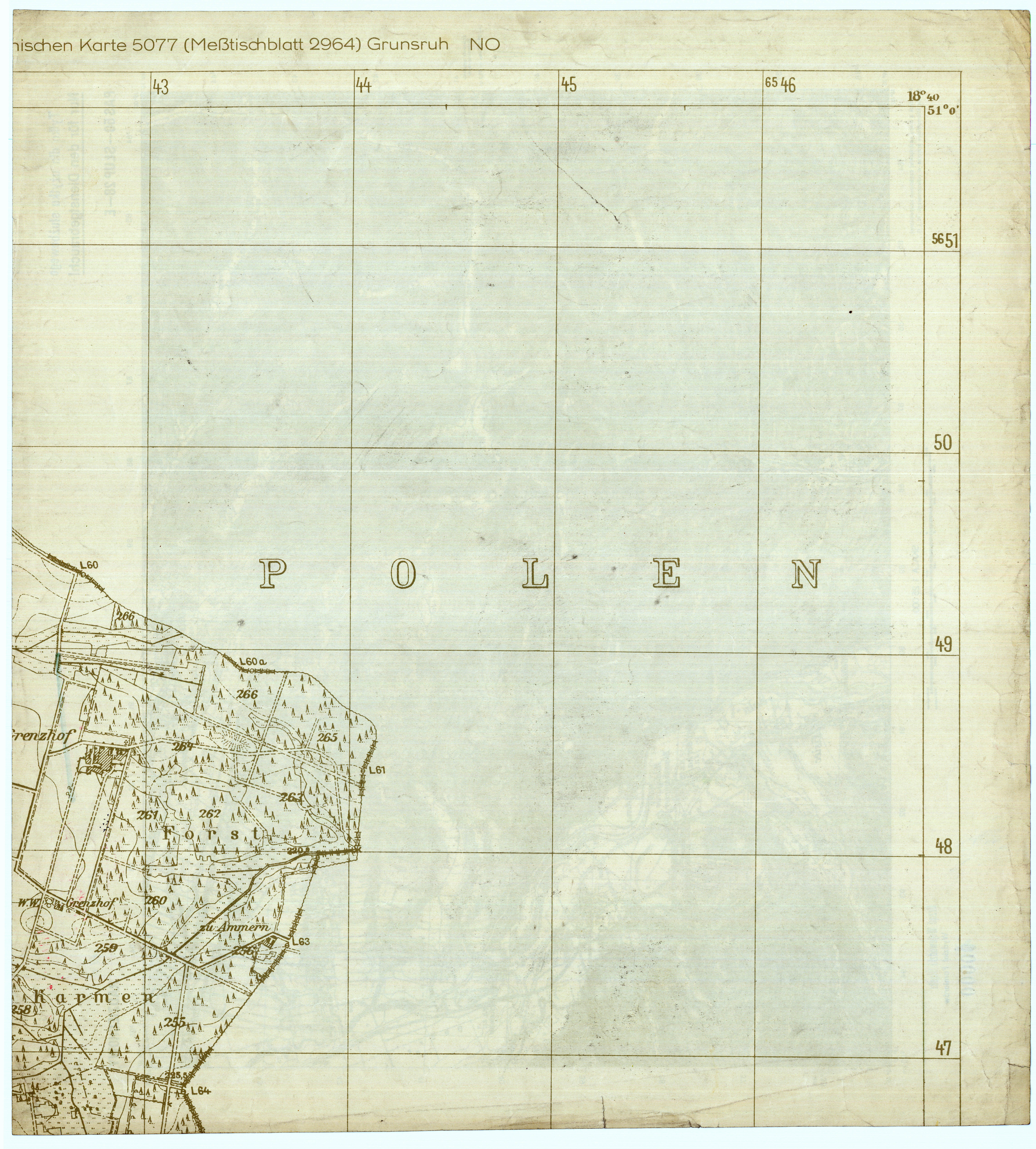
| map file | 5077_Grunsruh_1939_NO_fragment.jpg |
|---|---|
| file size | 4599542 (4.4 MB) |
| sheet number | 5077 (2964) |
| sheet title | Grunsruh |
| modern name | Bodzanowice |
| alternative name | Botzanowitz (-1936), Grunsruh (1936-45) |
| scan resolution | 300 dpi |
| scan colors | rgb |
| remarks | fragment ca 25% (NE) |
| file added | 2013-05-24 |
| entry edited | 2013-05-24 21:01:31 |
| from the collection of | Archiwum Map Zachodniej Polski |
