


| map file | mappa_krolestwa_polskiego-006_woj_kaliskie_south_PBC.jpg |
|---|---|
| file size | 1534179 (1.5 MB) |
| sheet number | WKL |
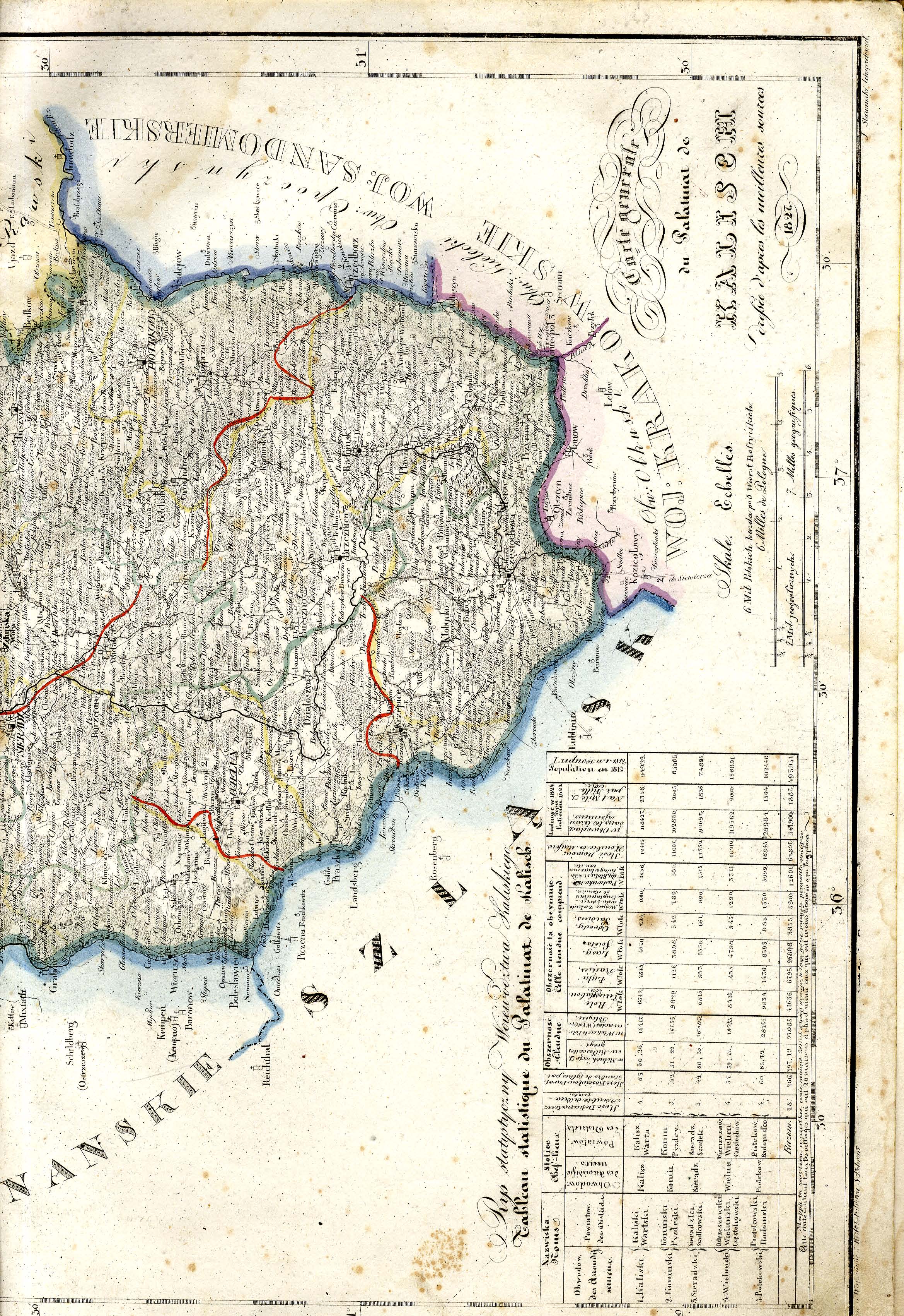
| sheet title | Mappa jeneralna województwa kaliskiego ułożona według naylepszych źródeł przez Juliusza Colberg 1827 --- część południowa |
| modern name | A general map of the Voivodship of Kalisz compiled from best authorities by Julisz Colberg --- southern part |
| annotation | Juliusz Colberg, Mappa Królestwa Polskiego |
| scan resolution | 300 dpi |
| file added | 2013-06-22 |
| entry edited | 2013-06-22 23:39:52 |
| from the collection of | Podlaska Biblioteka Cyfrowa |
