


| map file | P57_S39_BURKUT_1932_w.norm_300dpi.jpg |
|---|---|
| file size | 6057160 (5.8 MB) |
| sheet number | Row 57 Col 39 (A57 B39) |
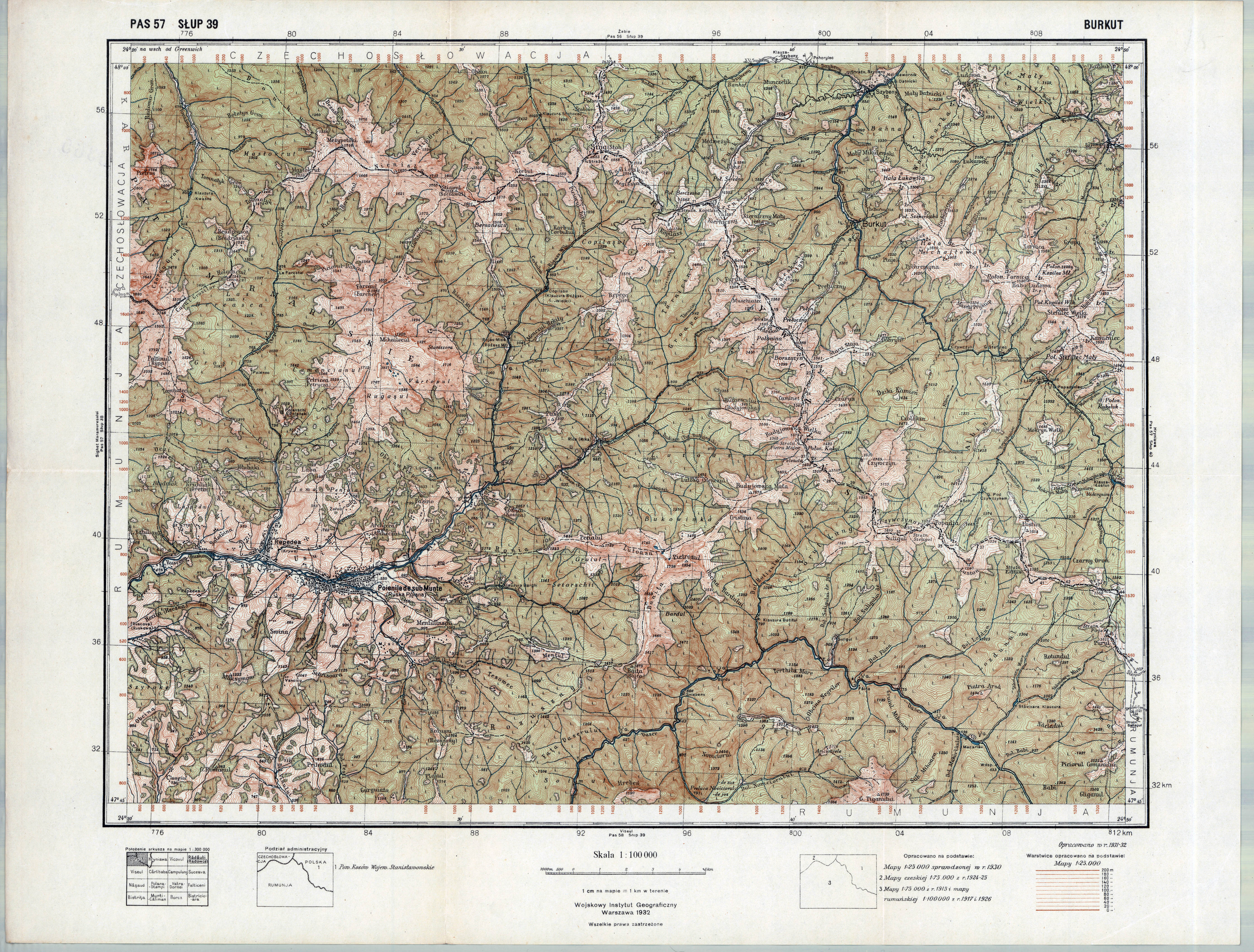
| sheet title | BURKUT |
| modern name | Буркут |
| publication year | 1932 |
| publisher | Wojskowy Instytut Geograficzny |
| map type | Typ IV |
| description | A type of 1931. The QS grid each 2 kilometres, zero meridian Greenwich. A four-colour map (basic content in black, waters in blue, forests in green, contours in brown). Additional colours: red for tourist routes, violet for shadowing. |
| scan resolution | 300 dpi |
| remarks | wyd. normalne |
| entry edited | 2010-10-20 10:05:25 |
| from the collection of | Archiwum Map WIG |
